


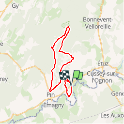

22 km | 25 km-effort


Benutzer


Kostenlosegpshiking-Anwendung
 SityTrail
IGN / Geografische Institute
SityTrail World
Die Welt öffnet sich für Sie
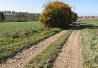
Tour Mountainbike von 24 km verfügbar auf Burgund und Freigrafschaft, Haute-Saône, Vregille. Diese Tour wird von Tvuillem vorgeschlagen.
Gezier-FermeCourbey-Fontenelay-Pin-Vregille
Note: Peu de route, chemin blanc et single dans les bois
Wandern
Wandern
Wandern

Wandern
Mountainbike
Wandern
Wandern
Mountainbike
Wandern