


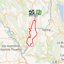

39 km | 54 km-effort


Benutzer


Kostenlosegpshiking-Anwendung
 SityTrail
IGN / Geografische Institute
SityTrail World
Die Welt öffnet sich für Sie
Tour Mountainbike von 34 km verfügbar auf Auvergne-Rhone-Alpen, Ain, Belley. Diese Tour wird von jeannot01 vorgeschlagen.
Montée longue et difficile sur gros chemin depuis Peyrieu. Après la Pierre du Regardeur (magnifique pt de vue sur le Rhone) la montée est plus vallonnée. Très belle descente sur Murs. ! un peu raide et technique au début
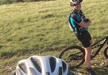
Mountainbike
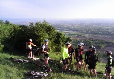
Mountainbike

Mountainbike
Mountainbike
Mountainbike
Mountainbike
Mountainbike
Mountainbike
Mountainbike