


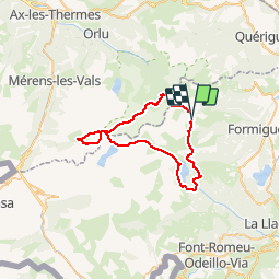

15,1 km | 24 km-effort


Benutzer


Kostenlosegpshiking-Anwendung
 SityTrail
IGN / Geografische Institute
SityTrail World
Die Welt öffnet sich für Sie
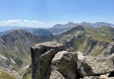
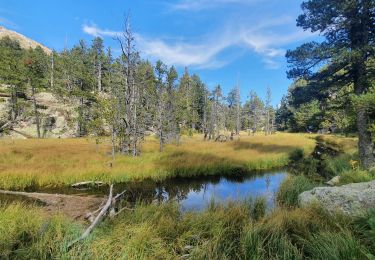
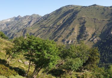
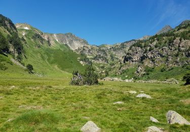
Tour Wandern von 46 km verfügbar auf Okzitanien, Ostpyrenäen, Formiguères. Diese Tour wird von Machaon6 vorgeschlagen.
4 jours/4 nuits en refuge
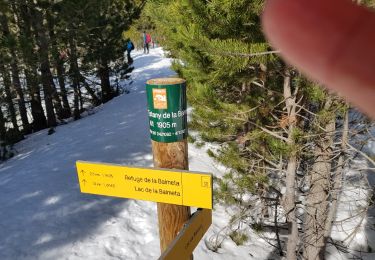
Réserver les refuges ;commencer par le refuge des Camporells(petite capacité)

Wandern


sport
Wandern

Wandern

Schneeschuhwandern
Wandern
Wandern
Wandern
Schneeschuhwandern