


22 km | 25 km-effort


Benutzer GUIDE


Kostenlosegpshiking-Anwendung
 SityTrail
IGN / Geografische Institute
SityTrail World
Die Welt öffnet sich für Sie
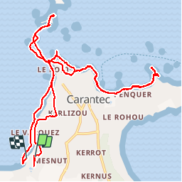
Tour Wandern von 13,3 km verfügbar auf Bretagne, Finistère, Carantec. Diese Tour wird von pascalou73 vorgeschlagen.
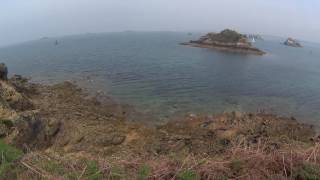
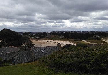
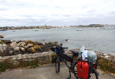
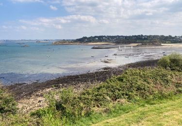
Cette randonnée vous emmènera à la plage de tahiti par le sentier des douaniers (GR34) avec tout au long de cette balade de magnifiques points de vues et pour le retour, vous pourrez longer la mer (attention pour le retour à partir de la presqu'île, il faudra bien regarder les horaires de marées). Sinon, il est possible de retourner par le chemin du départ. (petite route).
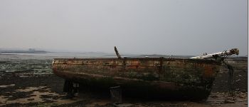
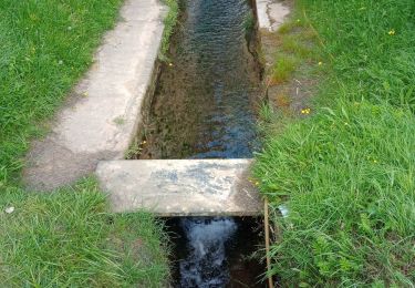
 - Photo 1")
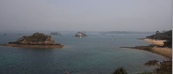
 - Photo 2")
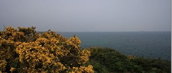
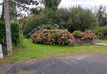
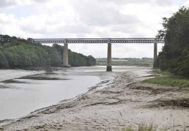
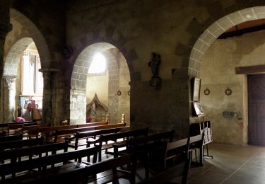
 - Photo 3")

Wandern
Andere Aktivitäten
Wandern

Wandern
Radtourismus
Wandern
Zu Fuß
Zu Fuß