


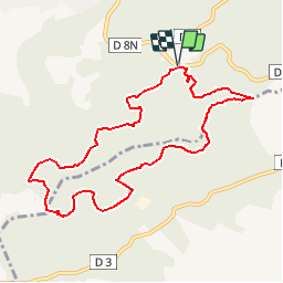

16,5 km | 24 km-effort

Benutzer


Kostenlosegpshiking-Anwendung
 SityTrail
IGN / Geografische Institute
SityTrail World
Die Welt öffnet sich für Sie
Tour Wandern von 9,9 km verfügbar auf Provence-Alpes-Côte d'Azur, Bouches-du-Rhône, Cuges-les-Pins. Diese Tour wird von francisdean vorgeschlagen.
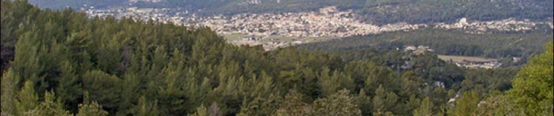
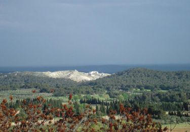
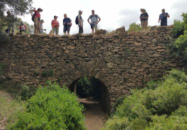
Randonnée pédestre de niveau 3. Vous pourrez vous garer au départ (parking OK CORAL). Vous marcherez en sous-bois sur des chemins faciles. Vue sur Cuges les Pins. D’autres informations sur le site de Rando Loisirs à Carnoux en Provence.


Wandern

Wandern

Wandern

Wandern

Wandern

Wandern

Wandern
Wandern
Wandern