


 7.05.2016 - Photo 21")
 7.05.2016 - Photo 22")
 7.05.2016 - Photo 23")
 7.05.2016 - Photo 24")
 7.05.2016 - Photo 25")
 7.05.2016 - Photo 26")
 7.05.2016 - Photo 27")
 7.05.2016 - Photo 28")
 7.05.2016 - Photo 29")
 7.05.2016 - Photo 30")

7,7 km | 11,3 km-effort

Benutzer


Kostenlosegpshiking-Anwendung
 SityTrail
IGN / Geografische Institute
SityTrail World
Die Welt öffnet sich für Sie
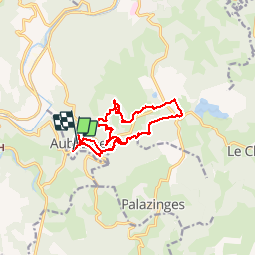
Tour Wandern von 14,4 km verfügbar auf Neu-Aquitanien, Corrèze, Aubazines. Diese Tour wird von reva17 vorgeschlagen.
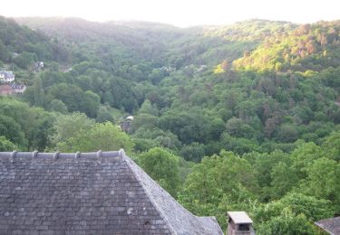
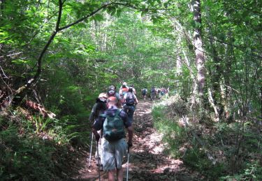
Aubazines - Le canal des moines - La Roche Bergère - Le Puy de Pauliac
 7.05.2016 - Photo 1")
 7.05.2016 - Photo 2")
 7.05.2016 - Photo 3")
 7.05.2016 - Photo 4")
 7.05.2016 - Photo 5")
 7.05.2016 - Photo 6")
 7.05.2016 - Photo 7")
 7.05.2016 - Photo 8")
 7.05.2016 - Photo 9")
 7.05.2016 - Photo 10")
 7.05.2016 - Photo 11")
 7.05.2016 - Photo 12")
 7.05.2016 - Photo 13")
 7.05.2016 - Photo 14")
 7.05.2016 - Photo 15")
 7.05.2016 - Photo 16")
 7.05.2016 - Photo 17")
 7.05.2016 - Photo 18")
 7.05.2016 - Photo 19")
 7.05.2016 - Photo 20")
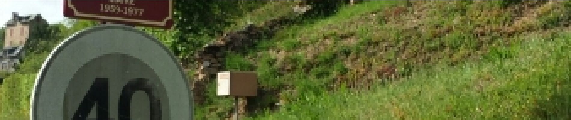
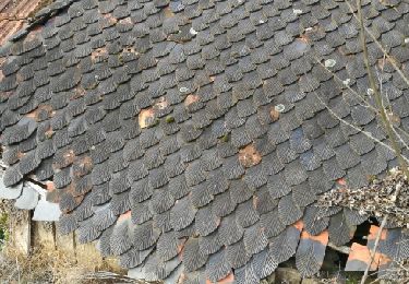
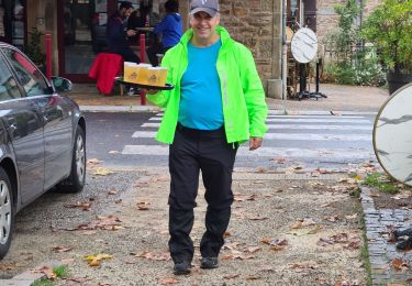
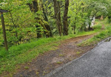
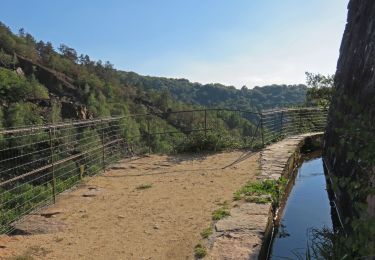
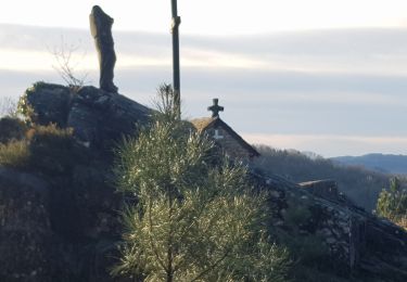
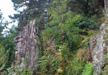
30 Fotos insgesamt. Klicken Sie auf ein Foto, um sie alle in der Galerie zu sehen.
Wandern
Wandern
Wandern
Wandern
Pfad
Wandern

Wandern
Wandern
Wandern