


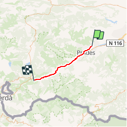

13,5 km | 17,2 km-effort


Benutzer


Kostenlosegpshiking-Anwendung
 SityTrail
IGN / Geografische Institute
SityTrail World
Die Welt öffnet sich für Sie
Tour Wandern von 42 km verfügbar auf Okzitanien, Ostpyrenäen, Eus. Diese Tour wird von crijack vorgeschlagen.
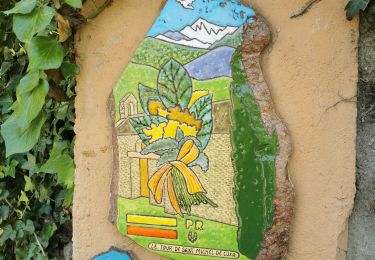
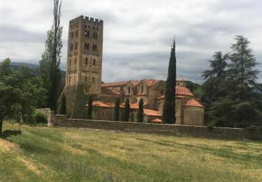
Balade au départ de Eus un des plus beaux villages de France, visite du fort Liberia à Villefranche de Conflent puis trajet en train jaune jusqu'à Planès ou possibilité d'aller jusqu'à Mont Louis et sa citadelle de Vauban


Wandern

Mountainbike


sport

Wandern
Wandern
Wandern

Wandern

Wandern
Wandern