


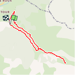

19,8 km | 46 km-effort

Benutzer


Kostenlosegpshiking-Anwendung
 SityTrail
IGN / Geografische Institute
SityTrail World
Die Welt öffnet sich für Sie
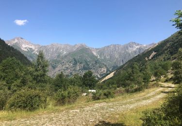
Tour Wandern von 8,9 km verfügbar auf Provence-Alpes-Côte d'Azur, Hochalpen, Saint-Maurice-en-Valgodemard. Diese Tour wird von Dervalmarc vorgeschlagen.
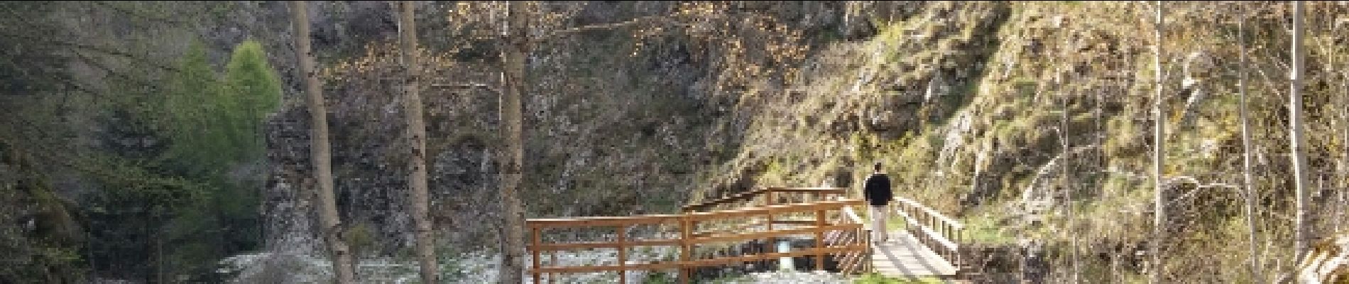
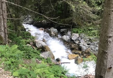
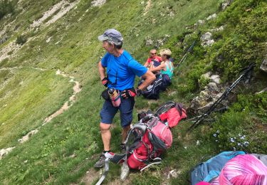
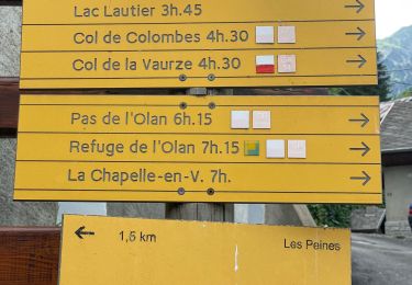
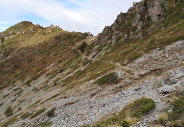
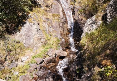
Agréable parcours couplant les chalets de Prenticq et la petite cabane du Sellar.Tout cela dans le cadre grandiose d'un vallon sauvage ou vous aurez la possibilité d'observer de nombreux chamois.


Wandern

Wandern
Wandern
Wandern
Wandern
Wandern
Wandern
Wandern
Wandern