


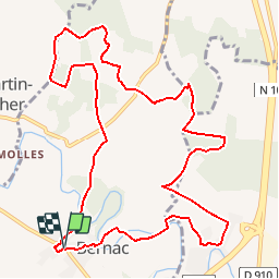

17,5 km | 19,6 km-effort


Benutzer


Kostenlosegpshiking-Anwendung
 SityTrail
IGN / Geografische Institute
SityTrail World
Die Welt öffnet sich für Sie
Tour Wandern von 12,6 km verfügbar auf Neu-Aquitanien, Charente, Bernac. Diese Tour wird von neoroll44 vorgeschlagen.
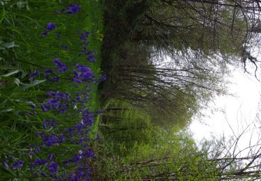
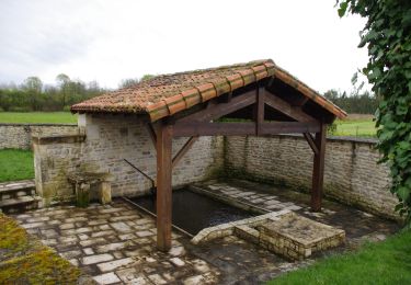
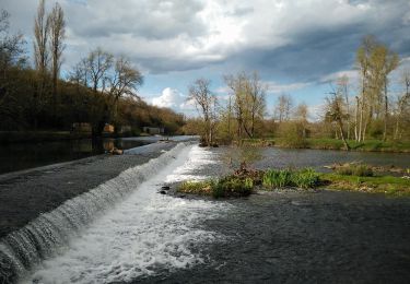
Circuit de la Font du Maçon (vert). Départ du parking du cimetière. Vers la Paizière, le bois des Jarris et le logis des Nouzières.
Hybrid-Bike
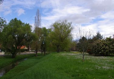
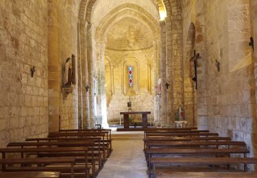
Wandern
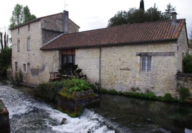
Wandern
Wandern
Wandern

Wandern