


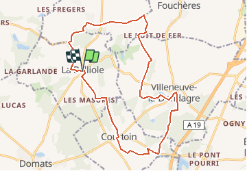

10,2 km | 11,2 km-effort


Benutzer


Kostenlosegpshiking-Anwendung
 SityTrail
IGN / Geografische Institute
SityTrail World
Die Welt öffnet sich für Sie
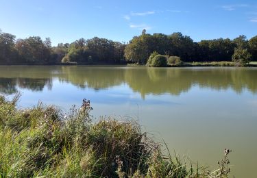
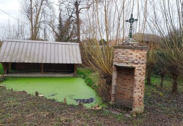
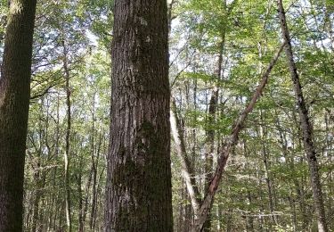
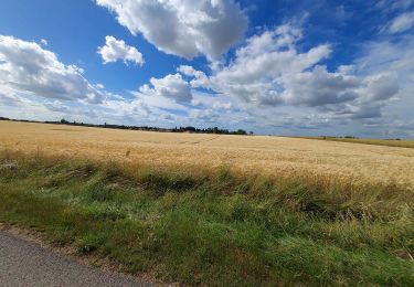
Tour Wandern von 18,5 km verfügbar auf Burgund und Freigrafschaft, Yonne, La Belliole. Diese Tour wird von micheljannot vorgeschlagen.
circuit balisé par Comité FFRP
s'appuie sur le GRP du Bocage gâtinais
sans description sur topoguide
Wandern
Wandern
Wandern
Wandern
Wandern

Geocaching
Geocaching

Hybrid-Bike
Wandern