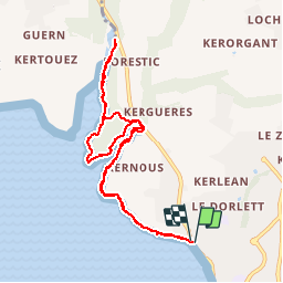

24 km | 27 km-effort


Benutzer


Kostenlosegpshiking-Anwendung
 SityTrail
IGN / Geografische Institute
SityTrail World
Die Welt öffnet sich für Sie
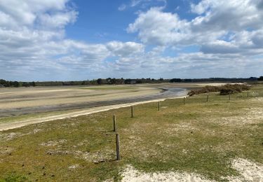
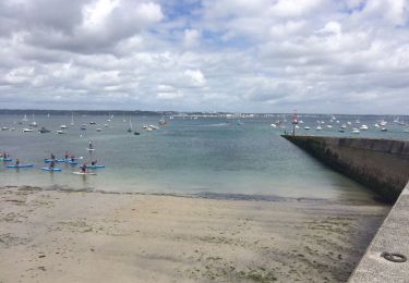
Tour Wandern von 9,2 km verfügbar auf Bretagne, Finistère, Concarneau. Diese Tour wird von patpounet73 vorgeschlagen.
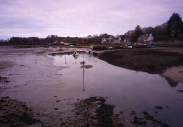
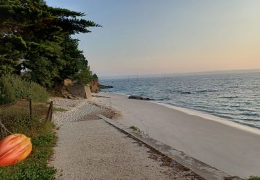
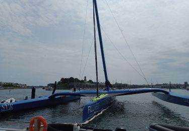
Petit périple sur ce chemin côtier. Très agréable. Dommage de devoir revenir sur ces pas, sinon nécessité d'utiliser 2 véhicules et poursuivre sur Fouesnant.
Wandern

Laufen
Wandern
Zu Fuß
Wandern