


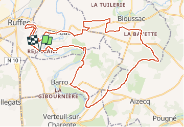


17,5 km | 19,6 km-effort

Benutzer


Kostenlosegpshiking-Anwendung
 SityTrail
IGN / Geografische Institute
SityTrail World
Die Welt öffnet sich für Sie
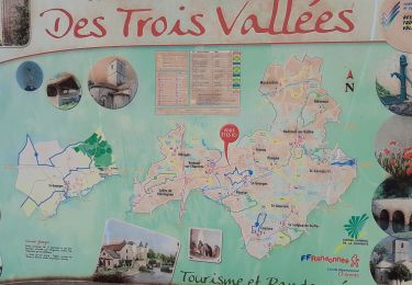
Tour Wandern von 26 km verfügbar auf Neu-Aquitanien, Charente, Condac. Diese Tour wird von neoroll44 vorgeschlagen.
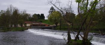
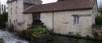
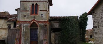
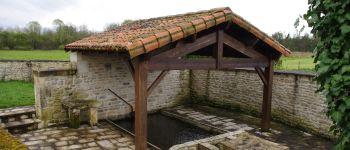
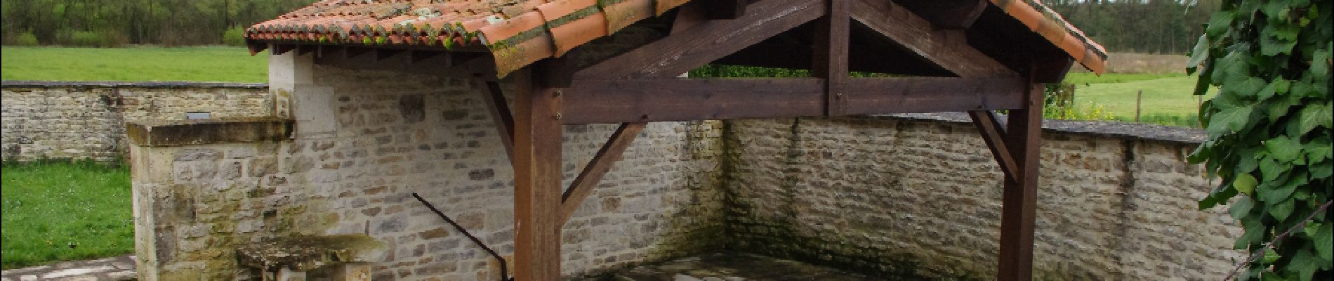
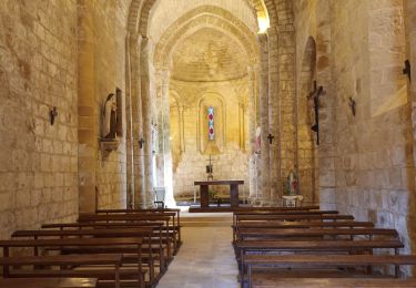
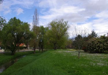
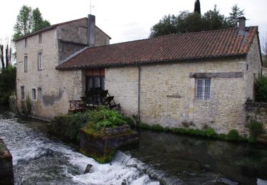
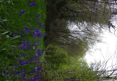
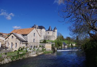
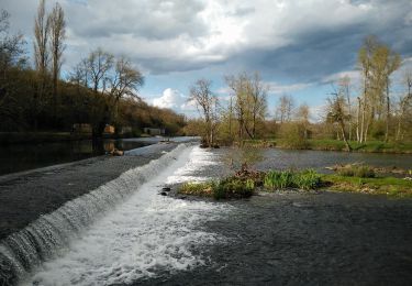
La vallée de la Charente, les champs et les bois. Départ à Rejallant (aire de détente, pique-nique, restaurant, camping, canoë) par le parcours de santé puis le circuit vert de Condac et le mauve de Barro.


Hybrid-Bike
Wandern
Wandern
Wandern
Wandern
Wandern
Wandern

Wandern