


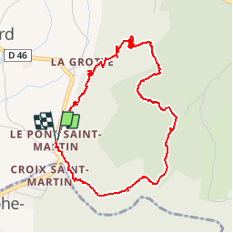

11,1 km | 17,4 km-effort


Benutzer


Kostenlosegpshiking-Anwendung
 SityTrail
IGN / Geografische Institute
SityTrail World
Die Welt öffnet sich für Sie
Tour Wandern von 5,4 km verfügbar auf Auvergne-Rhone-Alpen, Savoyen, Saint-Christophe. Diese Tour wird von TaxiMarne vorgeschlagen.
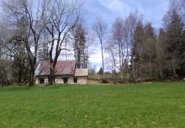
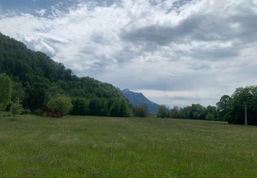
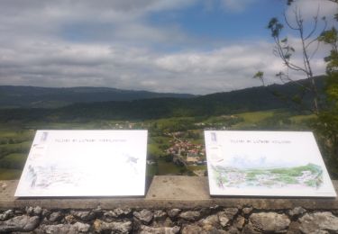
Départ du Pont Saint-Martin,Montée sur le plateau de la Ravoire, on domine les gorges de l'Echaillon. Puis on rejoint le nouveau site Préhistorique de la Fru qui relie la route Sarde. Et pour finir on retourne au Pont Saint-martin par la route.

Schneeschuhwandern

Rennrad

Wandern

Wandern
Wandern

Skiwanderen

Wandern

sport
Pfad