


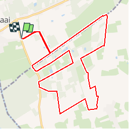

8,4 km | 9 km-effort


Benutzer


Kostenlosegpshiking-Anwendung
 SityTrail
IGN / Geografische Institute
SityTrail World
Die Welt öffnet sich für Sie
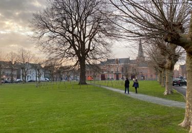
Tour Wandern von 11,7 km verfügbar auf Flandern, Ostflandern, Stekene. Diese Tour wird von corry.vandenbroeke vorgeschlagen.
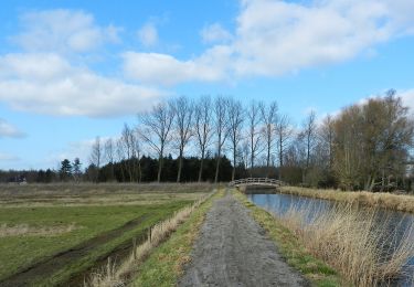
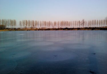
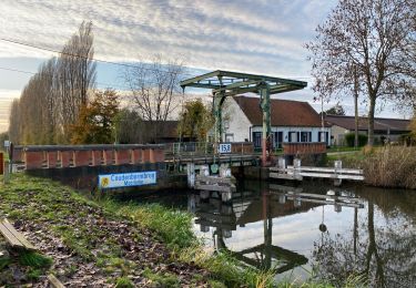
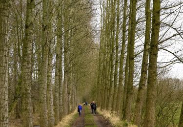
Start: Heimeersstraat - 9190 Stekene/Klein Sinaai. prachtige wandeling tussen de velden en langs het kanaal van Stekene. Deze wandeling wordt U gratis aangeboden door www.StepAway.be
Zu Fuß
Zu Fuß

Wandern
Wandern
Zu Fuß
Wandern
Wandern
Wandern
Wandern