


15,7 km | 21 km-effort


Benutzer GUIDE


Kostenlosegpshiking-Anwendung
 SityTrail
IGN / Geografische Institute
SityTrail World
Die Welt öffnet sich für Sie
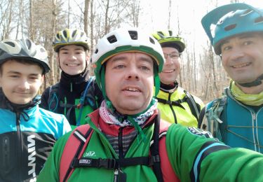
Tour Mountainbike von 23 km verfügbar auf Großer Osten, Mörthe und Mosel, Bertrichamps. Diese Tour wird von fabwin vorgeschlagen.
Avec Séb,David, Maxime
Jojo pour 2km seulement: casse de la patte de dérailleur et retour au bercail.
De beaux chemins mais un peu de poussage en montée et à travers les arbres abattus
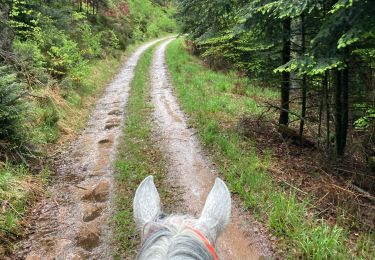
Reiten

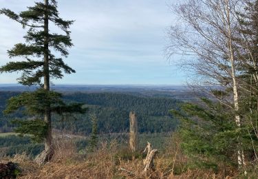
Mountainbike
Mountainbike
Mountainbike
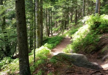
Mountainbike
Mountainbike
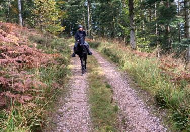
Reiten
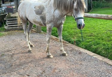
Reiten
Reiten
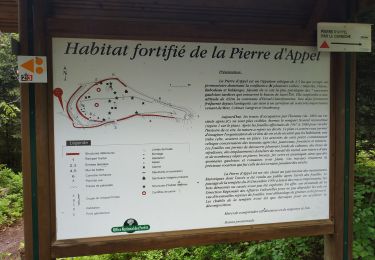
Beau parcours, 3 chevreuils vus !quelques belles côtes par contre pas mal de branches sur les chemins.