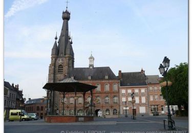
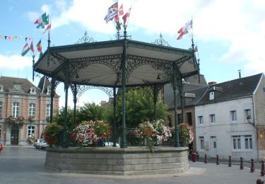
Tour Wandern Cousolre - Cousolre160204 - Photo
 wpestiaux
wpestiaux

Benutzer

© OpenStreetMap contributors
Länge
Länge
7,1 km
Maximale Höhe
Maximale Höhe
214 m
Positive Höhendifferenz
111 m
Km-Effort
Km-Effort  
8,6 km
Min. Höhe
Min. Höhe
168 m
Negative Höhendifferenz
115 m
Boucle
Boucle
Ja
Erstellungsdatum :
2016-03-09 00:00:00.0
Letzte Änderung :
2016-03-09 00:00:00.0

(0 Nachricht)

Wandern
Wandern
1h51
Schwierigkeit : Einfach

Scannen Sie diesen QR-Code, um die Tour in der SityTrail-Anwendung zu öffnen

Kostenlosegpshiking-Anwendung

Logo SityTrail SityTrail

IGN / Geografische Institute

SityTrail aus dem App Store herunterladen SityTrail von Google Play herunterladen

Logo SityTrail SityTrail World

Die Welt öffnet sich für Sie

SityTrail aus dem App Store herunterladen SityTrail von Google Play herunterladen SityTrail auf Huawei AppGallery herunterladen

Über SityTrail

Tour Wandern von 7,1 km verfügbar auf Nordfrankreich, Nord, Cousolre. Diese Tour wird von wpestiaux vorgeschlagen.

Höhenprofil

Ort

Land:
France
Region :
Nordfrankreich
Abteilung/Provinz :
Nord
Kommune :
Cousolre
Standort:
Unknown
Gehen Sie:(Dec)
Gehen Sie:(UTM)
582511 ; 5566407 (31U) N.

Touren in der Umgebung

Tour Zu Fuß Erquelinnes - Sur les traces de la frontière hollandaise - Photo
Zu Fuß
GUIDE+

Zu Fuß

Einfach
Erquelinnes, Wallonien, Hennegau, Belgium
6,9 km | 8,2 km-effort
1h 51min
Ja
Tour Wandern Erquelinnes - sentier touristique Solre Bersilies - Photo
Wandern
grisous

Wandern

Medium
(1)
Erquelinnes, Wallonien, Hennegau, Belgium
6,7 km | 8,1 km-effort
1h 50min
Ja
Tour Wandern Beaumont - Leugnies-Leval - Photo
Wandern
cvdb

Wandern

Sehr leicht
(1)
Beaumont, Wallonien, Hennegau, Belgium
8,3 km | 10 km-effort
2h 15min
Ja
Tour Wandern Erquelinnes - pont romain - Photo
Wandern
EDWIGE12345

Wandern

Sehr leicht
Erquelinnes, Wallonien, Hennegau, Belgium
4,4 km | 5 km-effort
1h 17min
Nein
Tour Wandern Beaumont - Leval-Chaudeville 4,2km 30112018 - Photo
Wandern
alain.guillaume

Wandern

Medium
(1)
Beaumont, Wallonien, Hennegau, Belgium
4,2 km | 5,1 km-effort
1h 6min
Ja
Tour Fahrrad Cousolre - Moulins et kiosques en fagne de Solre (48 kms) - Coulsore - Photo
Fahrrad
jeanphi.hennebert

Fahrrad

Schwierig
Cousolre, Nordfrankreich, Nord, France
48 km | 55 km-effort
4h 0min
Ja
Tour Mountainbike Cousolre - Circuit des 2 rivières (B) - Cousolre - Photo
Mountainbike
tracegps

Mountainbike

Einfach
Cousolre, Nordfrankreich, Nord, France
16,5 km | 19,6 km-effort
1h 19min
Ja
Tour Mountainbike Cousolre - Circuit des 2 rivières (A) - Cousolre  - Photo
Mountainbike
tracegps

Mountainbike

Einfach
Cousolre, Nordfrankreich, Nord, France
13,8 km | 16,6 km-effort
1h 30min
Ja
Tour Fahrrad Cousolre - Moulins et kiosques en fagne de Solre (31 kms) - Coulsore - Photo
Fahrrad
tracegps

Fahrrad

Medium
Cousolre, Nordfrankreich, Nord, France
32 km | 37 km-effort
3h 0min
Ja


Schließen
Meine Abonnements