


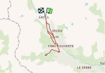


10 km | 18 km-effort

Benutzer


Kostenlosegpshiking-Anwendung
 SityTrail
IGN / Geografische Institute
SityTrail World
Die Welt öffnet sich für Sie
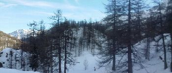
Tour Schneeschuhwandern von 15 km verfügbar auf Provence-Alpes-Côte d'Azur, Hochalpen, Névache. Diese Tour wird von destras vorgeschlagen.
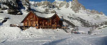
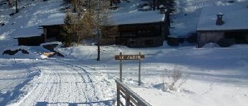
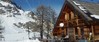
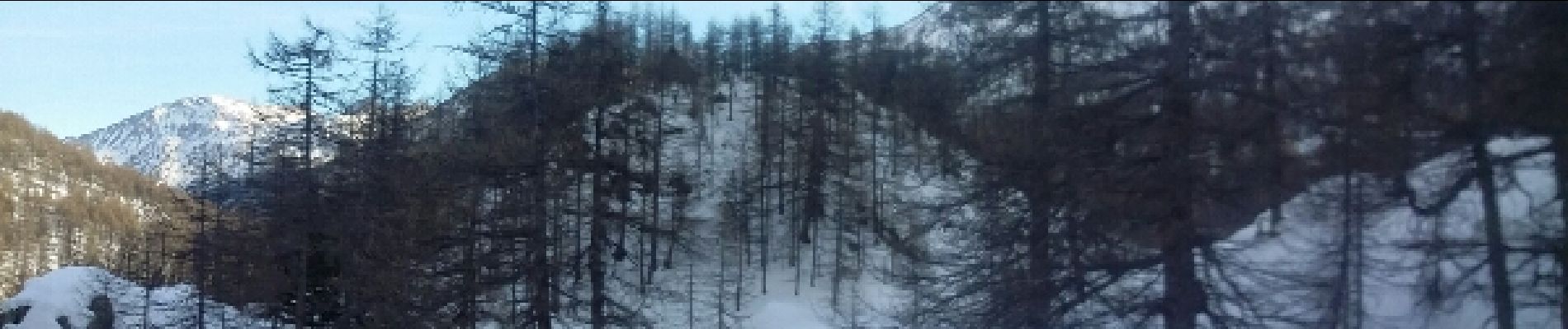
Très belle ballade. Nous avons fait un A/R le long de la Clarée à partir du pont le Jadis que vous pouvez éviter, ainsi vous réduirez la rando à 12kms.


Wandern

Wandern

Wandern

Wandern

Wandern

Klettersteig

Wandern

Wandern

Andere Aktivitäten