


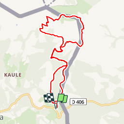


6,7 km | 9,7 km-effort

Benutzer


Kostenlosegpshiking-Anwendung
 SityTrail
IGN / Geografische Institute
SityTrail World
Die Welt öffnet sich für Sie
Tour Wandern von 10,6 km verfügbar auf Navarra, Unbekannt, Bera. Diese Tour wird von DECHAMPD vorgeschlagen.
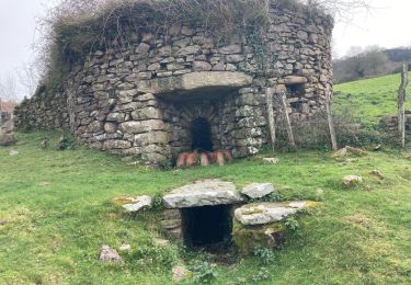
départ Benta Lizuniagako, Gondendiagako Bidea, Kondendiagako lepoa, Larun et descente en suivant la ligne frontière BF 25 à BF36 par Urkilako Lepoa, Baratz, Meaka, et ligne de crête jusqu'au point de départ.


Wandern

Wandern

Wandern
Wandern
Wandern
Wandern
Wandern
Wandern
Wandern