


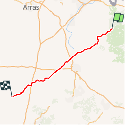


18 km | 20 km-effort


Benutzer


Kostenlosegpshiking-Anwendung
 SityTrail
IGN / Geografische Institute
SityTrail World
Die Welt öffnet sich für Sie
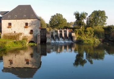
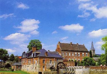
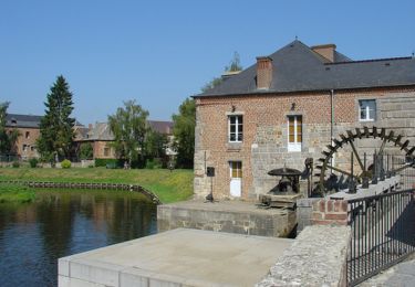
Tour Mountainbike von 119 km verfügbar auf Nordfrankreich, Nord, Landrecies. Diese Tour wird von francois58 vorgeschlagen.
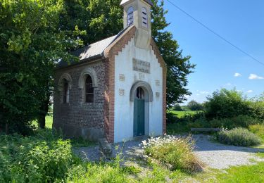
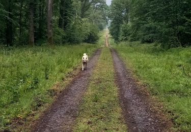
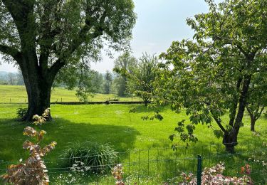
Jour 3/9 d'une randonnée Verviers - Bretagne. Aussi souvent que possible sur petites routes et chemins. Certains passages seront plus confortables en VTT.
Pneus lisses possibles si le temps est sec.
Wandern

Mountainbike
Wandern
Wandern
Wandern
Fahrrad

Wandern
Wandern
Wandern