


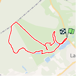


23 km | 28 km-effort

Benutzer GUIDE


Kostenlosegpshiking-Anwendung
 SityTrail
IGN / Geografische Institute
SityTrail World
Die Welt öffnet sich für Sie
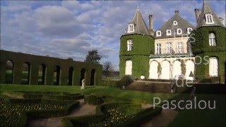
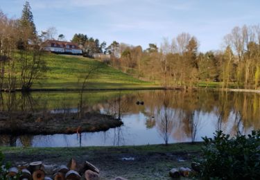
Tour Wandern von 8,6 km verfügbar auf Wallonien, Wallonisch-Brabant, La Hulpe. Diese Tour wird von pascalou73 vorgeschlagen.
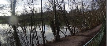
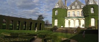
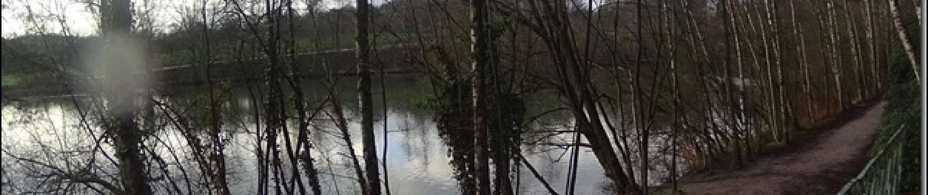
Une randonnée entre lac et forêt du beau château de la Hulpe .Une belle variété d'oiseaux sur le site


Wandern

Wandern

Mountainbike

Wandern

Wandern

Mountainbike

Wandern
Wandern
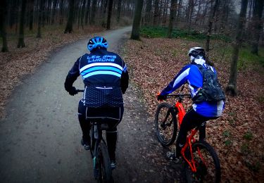
Mountainbike