


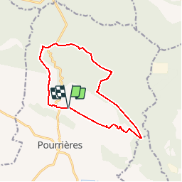


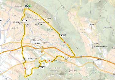
12,3 km | 17,3 km-effort


Benutzer


Kostenlosegpshiking-Anwendung
 SityTrail
IGN / Geografische Institute
SityTrail World
Die Welt öffnet sich für Sie
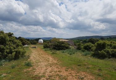
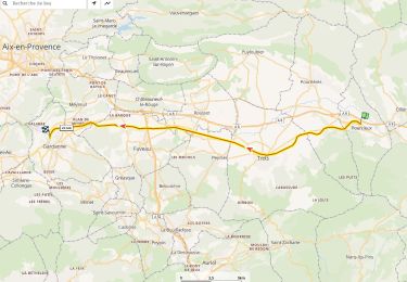
Tour Mountainbike von 13,8 km verfügbar auf Provence-Alpes-Côte d'Azur, Var, Pourrières. Diese Tour wird von Coqorico vorgeschlagen.
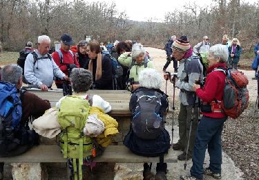
Attention ! La première montée est raide et difficile.
Grande partie très roulante pour finir la boucle agréablement.
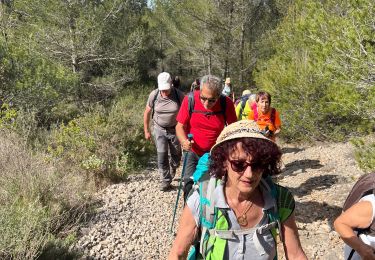
Wandern
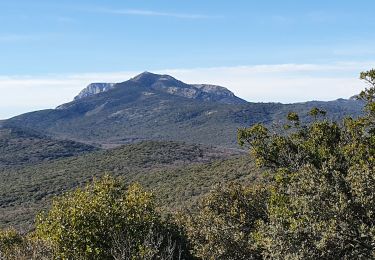
Wandern
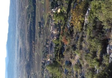
Wandern
Mountainbike
Wandern

Wandern

sport
Mountainbike
Wandern