


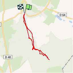


13,4 km | 15,7 km-effort

Benutzer


Kostenlosegpshiking-Anwendung
 SityTrail
IGN / Geografische Institute
SityTrail World
Die Welt öffnet sich für Sie
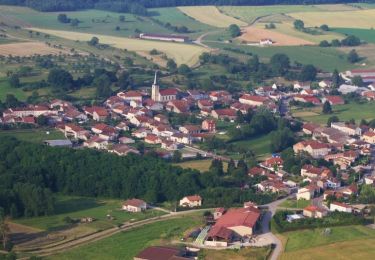
Tour Wandern von 6,7 km verfügbar auf Großer Osten, Vogesen, Escles. Diese Tour wird von jeanclaude12 vorgeschlagen.
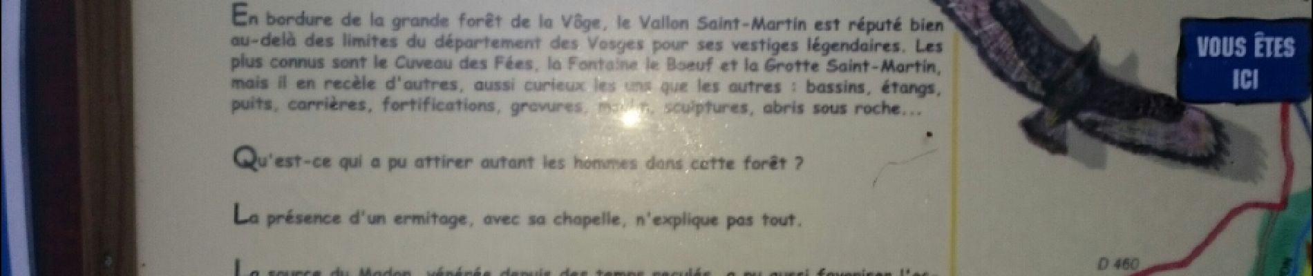
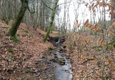
Situé sur la commune d'Escles (Vosges), ce vallon druidique intrigue par ses nombreux vestiges qui attestent des présences celte puis gallo-romaine : Cuveau des Fées, Fontaine le Boeuf, Grotte Saint-Martin.


Wandern
Laufen

Wandern
Wandern

Wandern

Wandern


sport
sport
Wandern