


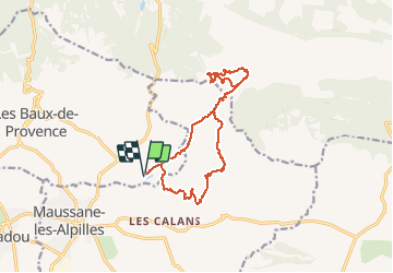

19,2 km | 27 km-effort


Benutzer


Kostenlosegpshiking-Anwendung
 SityTrail
IGN / Geografische Institute
SityTrail World
Die Welt öffnet sich für Sie
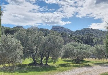
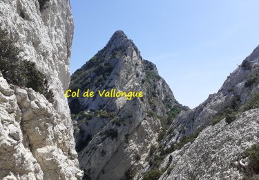
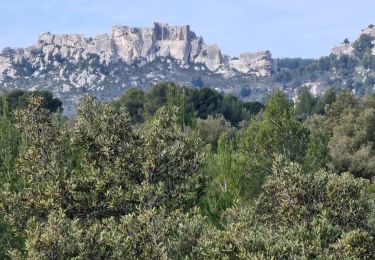
Tour Wandern von 16,1 km verfügbar auf Provence-Alpes-Côte d'Azur, Bouches-du-Rhône, Les Baux-de-Provence. Diese Tour wird von Nathy8913 vorgeschlagen.
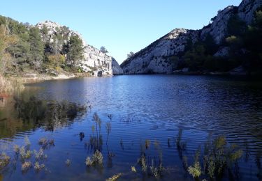
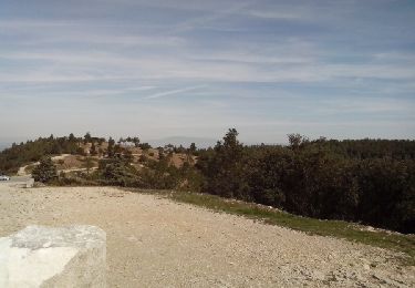
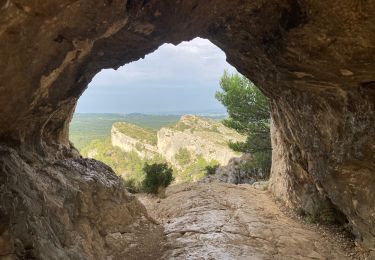
Peu de dénivelé, quelques grimpettes et belles descentes, panoramas splendides. Très belle rando !
Wandern
Wandern

Wandern
Wandern

Wandern
Wandern
Wandern
Wandern
Wandern
Superbe !