


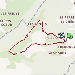

11,9 km | 19,7 km-effort


Benutzer


Kostenlosegpshiking-Anwendung
 SityTrail
IGN / Geografische Institute
SityTrail World
Die Welt öffnet sich für Sie
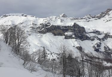
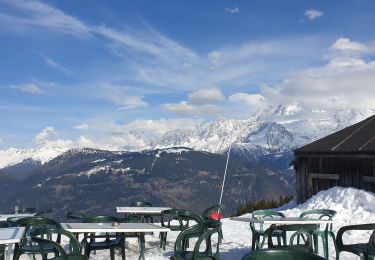
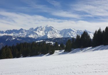
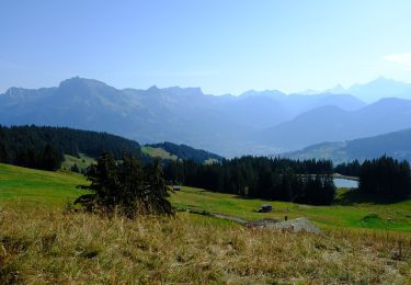
Tour Wandern von 7,5 km verfügbar auf Auvergne-Rhone-Alpen, Hochsavoyen, Cordon. Diese Tour wird von christophe7406 vorgeschlagen.
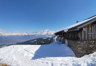
Parking"Le Refuge"Frébourge-Les Chars-Cabane du petit pâtre, Crête des Bénés-Chalet des Bénés-Parking

Wandern

Wandern

Andere Aktivitäten

Wandern
Schneeschuhwandern
Schneeschuhwandern
Skiwanderen
Skiwanderen
Zu Fuß