


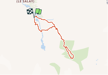

17,5 km | 30 km-effort


Benutzer


Kostenlosegpshiking-Anwendung
 SityTrail
IGN / Geografische Institute
SityTrail World
Die Welt öffnet sich für Sie
Tour Wandern von 6,9 km verfügbar auf Wallis, Ering, Evolène. Diese Tour wird von rpf vorgeschlagen.
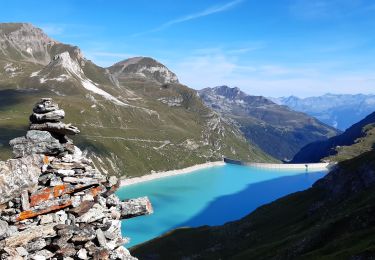
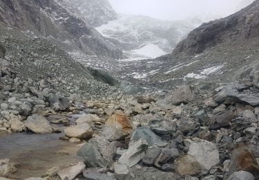
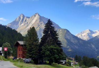
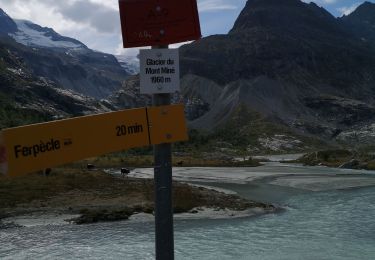
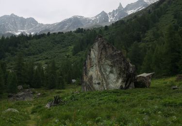
Vers les Glaciers de Ferpècle et du Mont Miné, face au Plateau blanc du Val d''Hérens, sur la corniche qui surplombe la vallée creusée par les géants de glace.
Départ tout au fond du Val de Ferpècle, au petit barrage. La route d''accès est en bon état.
Aucune difficulté pour cette balade, et plusieurs solutions pour la rallonger à souhait, en direction de la Cabane ou du Bivouac de la Dent-Blanche, à condition d''avoir l''expérience et l''équipement voulus pour la glace.
Une balade de " www.toprando.ch "
Wandern
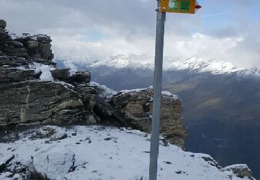
Wandern
Wandern
Wandern
Nordic Walking

Wandern
Wandern
Nordic Walking
Nordic Walking