


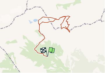

7,6 km | 13,1 km-effort


Benutzer


Kostenlosegpshiking-Anwendung
 SityTrail
IGN / Geografische Institute
SityTrail World
Die Welt öffnet sich für Sie
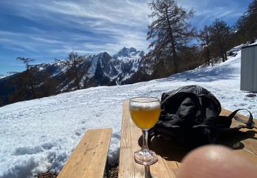
Tour Wandern von 10,2 km verfügbar auf Wallis, Gundis, Chamoson. Diese Tour wird von rpf vorgeschlagen.
Sur la longue arête qui relie la Dent de Chamosentze au sommet de Haut-de-Cry, une successions de pointes surplombant les impressionnantes falaises de la face sud. Deux pointes plus arrondies dans toutes ces tours et ces remparts, les Pointes de Tsérié.
Un objectif insolite, une excursion "à vue" hors des sentiers, sur le flanc nord de Haut de Cry, très pentu et constitué d''une espéce de caillasse argileuse qui rend la progression très difficile, voire dangereuse. A réserver aux amateurs d''inconnu, de difficultés, d''acrobaties et de sensations. Mais là-haut, quel spectacle ! S''il se trouve des volontaires, ce sera à vos risques et périls...
Départ à l''alpage de Chamosentze qu''on atteint par une route forestière en assez bon état.
Une balade de " www.toprando.ch "
Nordic Walking
Wandern
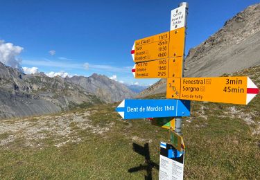
Wandern
Wandern
Wandern

Mountainbike

Wandern

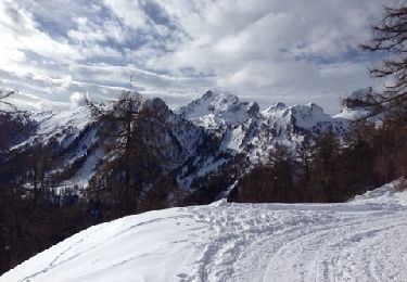
Schneeschuhwandern
Schneeschuhwandern