


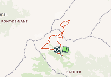

7,6 km | 13,1 km-effort


Benutzer


Kostenlosegpshiking-Anwendung
 SityTrail
IGN / Geografische Institute
SityTrail World
Die Welt öffnet sich für Sie
Tour Wandern von 11,4 km verfügbar auf Wallis, Gundis, Chamoson. Diese Tour wird von rpf vorgeschlagen.
Une super journée dans le décor lunaire de rochers dévastés de la Forcla. Nombreuses rencontres avec la faune (chamois, étagnes).
Départ à l''alpage de Chamosentze qu''on atteint par une route forestière en assez bon état.
La randonnée est assez longue et comporte des tronçons assez difficiles : montées abruptes, traversée de pierriers.
Une balade de " www.toprando.ch "
Nordic Walking
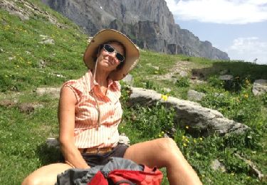
Wandern
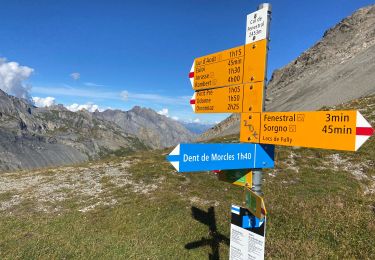
Wandern
Wandern
Wandern

Mountainbike

Wandern

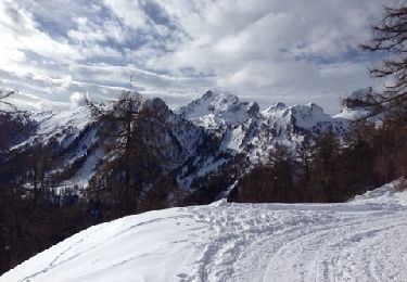
Schneeschuhwandern
Schneeschuhwandern