


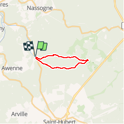

9,8 km | 13,1 km-effort

Benutzer


Kostenlosegpshiking-Anwendung
 SityTrail
IGN / Geografische Institute
SityTrail World
Die Welt öffnet sich für Sie
Tour Wandern von 13 km verfügbar auf Wallonien, Luxemburg, Saint-Hubert. Diese Tour wird von GerardBouche vorgeschlagen.
Par le "Rau de Rabani" vers l'observatoire de Bialaude et retour par le chemin du Fond des Grippes, la rive droite de la Masblette et l'arboretum.
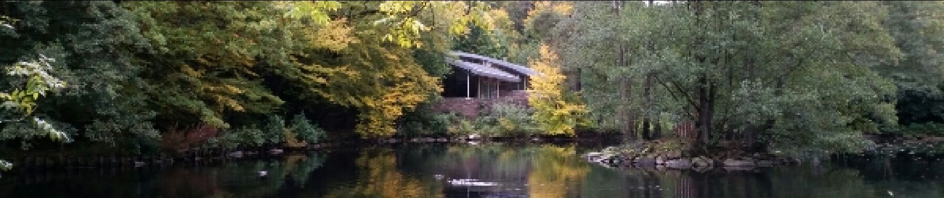
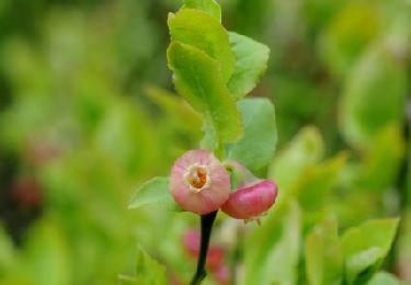
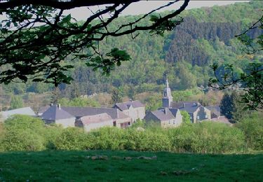
. - Photo 1")
. - Photo 2")
. - Photo 3")
. - Photo 4")
. - Photo 5")
. - Photo 6")
. - Photo 7")
. - Photo 8")

Wandern

Wandern

Wandern

Wandern

Mountainbike
Wandern
Wandern
Fahrrad

Fahrrad
tres chouette