12,2 km | 13,1 km-effort
Houplin-La pouillerie 8km
Blourouce
Benutzer
Länge
8,4 km
Maximale Höhe
29 m
Positive Höhendifferenz
42 m
Km-Effort
8,9 km
Min. Höhe
15 m
Negative Höhendifferenz
43 m
Boucle
Ja
Erstellungsdatum :
2019-01-12 16:54:29.678
Letzte Änderung :
2019-01-12 16:54:29.688
2h00
Schwierigkeit : Einfach
Kostenlosegpshiking-Anwendung
Über SityTrail
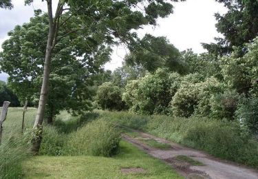
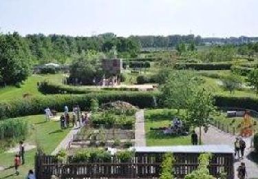
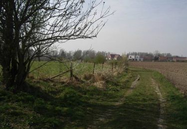
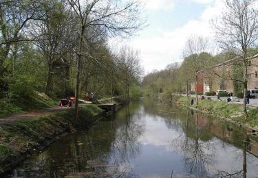
Tour Wandern von 8,4 km verfügbar auf Nordfrankreich, Nord, Houplin-Ancoisne. Diese Tour wird von Blourouce vorgeschlagen.
Ort
Land:
France
Region :
Nordfrankreich
Abteilung/Provinz :
Nord
Kommune :
Houplin-Ancoisne
Standort:
Unknown
Gehen Sie:(Dec)
Gehen Sie:(UTM)
500019 ; 5601081 (31U) N.
Kommentare
Touren in der Umgebung
Autour des champs captants (Wattignies)
Wandern
Medium
(1)
Wattignies,
Nordfrankreich,
Nord,
France
3h 15min
Ja
Circuit des Naviettes - Herrin
Wandern
Einfach
(1)
Herrin,
Nordfrankreich,
Nord,
France
5,7 km | 6 km-effort
1h 30min
Ja
santes
Wandern
Sehr leicht
(1)
Santes,
Nordfrankreich,
Nord,
France
4,6 km | 5,1 km-effort
1h 7min
Nein
SANTES 2024 - SLCP
Wandern
Medium
Santes,
Nordfrankreich,
Nord,
France
7,2 km | 7,7 km-effort
1h 59min
Ja
seclin bis 12,5 km
Wandern
Sehr leicht
Seclin,
Nordfrankreich,
Nord,
France
12,7 km | 13,5 km-effort
3h 47min
Ja
export
Mountainbike
Medium
(1)
Phalempin,
Nordfrankreich,
Nord,
France
55 km | 61 km-effort
Unbekannt
Ja
Santes : chaîne de vie
Wandern
Sehr leicht
Houplin-Ancoisne,
Nordfrankreich,
Nord,
France
5,5 km | 5,9 km-effort
Unbekannt
Ja
Le Bois de rive - Santes
Wandern
Einfach
Santes,
Nordfrankreich,
Nord,
France
6,8 km | 7,2 km-effort
1h 45min
Ja
Le Carembault - Seclin
Fahrrad
Medium
Seclin,
Nordfrankreich,
Nord,
France
36 km | 39 km-effort
2h 30min
Ja