


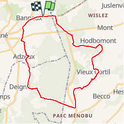

12,7 km | 16,8 km-effort


Plus vî, plus sot


Kostenlosegpshiking-Anwendung
 SityTrail
IGN / Geografische Institute
SityTrail World
Die Welt öffnet sich für Sie
Tour Mountainbike von 16,7 km verfügbar auf Wallonien, Lüttich, Sprimont. Diese Tour wird von Yeyette VTT team vorgeschlagen.
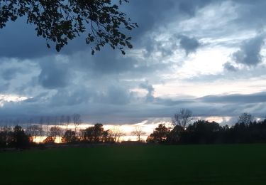
Pas une goutte de pluie, mais que d'eau ! Joli canyon longeant le Parc à Gibier.

Wandern

Wandern

Wandern

Wandern

Wandern

Wandern

Pfad
Wandern
Wandern