14,2 km | 18,1 km-effort
Vallon Sourn et Baumes
francisdean
Benutzer
Länge
11,1 km
Maximale Höhe
356 m
Positive Höhendifferenz
294 m
Km-Effort
15 km
Min. Höhe
166 m
Negative Höhendifferenz
290 m
Boucle
Ja
Erstellungsdatum :
2015-09-23 00:00:00.0
Letzte Änderung :
2015-09-23 00:00:00.0
5h00
Schwierigkeit : Einfach
Kostenlosegpshiking-Anwendung
Über SityTrail
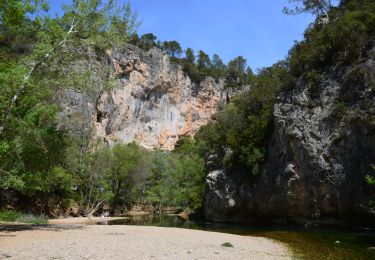
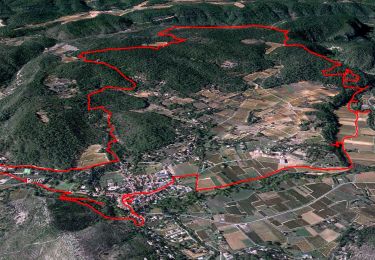
Tour Wandern von 11,1 km verfügbar auf Provence-Alpes-Côte d'Azur, Var, Correns. Diese Tour wird von francisdean vorgeschlagen.
Ort
Land:
France
Region :
Provence-Alpes-Côte d'Azur
Abteilung/Provinz :
Var
Kommune :
Correns
Standort:
Unknown
Gehen Sie:(Dec)
Gehen Sie:(UTM)
261960 ; 4820149 (32T) N.
Kommentare
Touren in der Umgebung
Le patrimoine - l'Argens - Le village
Wandern
Einfach
(1)
Correns,
Provence-Alpes-Côte d'Azur,
Var,
France
6h 0min
Ja
Correns - Val Obscur - Rive de l'Argens - Grotte aux Fées - Châteauvert - Val...
Wandern
Medium
Correns,
Provence-Alpes-Côte d'Azur,
Var,
France
21 km | 27 km-effort
4h 57min
Ja
Correns-18-03-22
Wandern
Medium
Correns,
Provence-Alpes-Côte d'Azur,
Var,
France
11,9 km | 14,9 km-effort
4h 10min
Ja
Correns à faire
Mountainbike
Medium
Correns,
Provence-Alpes-Côte d'Azur,
Var,
France
25 km | 32 km-effort
2h 55min
Ja
Correns fait
Mountainbike
Medium
Correns,
Provence-Alpes-Côte d'Azur,
Var,
France
26 km | 34 km-effort
2h 55min
Ja
Correns - Le val Sourn
Wandern
Medium
(1)
Correns,
Provence-Alpes-Côte d'Azur,
Var,
France
11,2 km | 15,2 km-effort
3h 16min
Ja
Correns reco Bernard 20.03.17
Wandern
Medium
Correns,
Provence-Alpes-Côte d'Azur,
Var,
France
16,5 km | 21 km-effort
4h 34min
Ja
2023-02-26_07h23m12_marathon_var_provence_verte_23-15580119-1674205419-434
Laufen
Schwierig
Châteauvert,
Provence-Alpes-Côte d'Azur,
Var,
France
42 km | 49 km-effort
4h 30min
Nein
Correns réel
Wandern
Medium
Correns,
Provence-Alpes-Côte d'Azur,
Var,
France
12,4 km | 15,8 km-effort
5h 12min
Ja
une partie du circuit (N102 Chanche) est inaccessible. Route barrée avec affichage "Voie privée non accessible au public"