


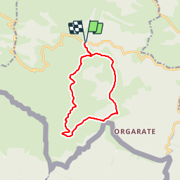


23 km | 41 km-effort

Benutzer


Kostenlosegpshiking-Anwendung
 SityTrail
IGN / Geografische Institute
SityTrail World
Die Welt öffnet sich für Sie
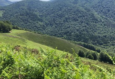
Tour Wandern von 12,4 km verfügbar auf Neu-Aquitanien, Pyrenäen-Atlantik, Lecumberry. Diese Tour wird von DECHAMPD vorgeschlagen.
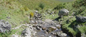
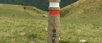
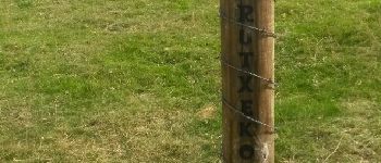
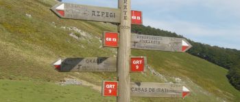
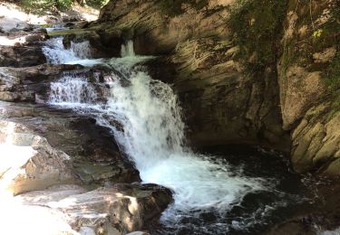
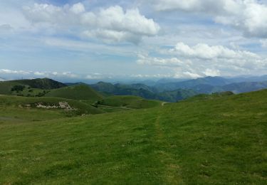
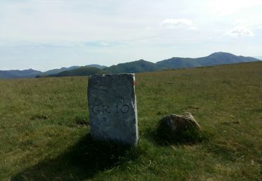
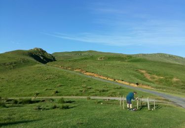
depuis le col d'Irau par la crête d'URCULU, le col Curutche, le col d'Oraaté et le site d'Occabé. parcours du 09/09/2015.


Wandern
Wandern
Wandern
Wandern
Wandern

Wandern
Wandern
Wandern

Wandern