


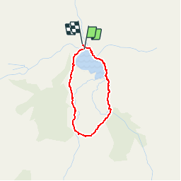

14,9 km | 27 km-effort

Benutzer


Kostenlosegpshiking-Anwendung
 SityTrail
IGN / Geografische Institute
SityTrail World
Die Welt öffnet sich für Sie
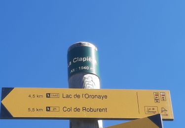
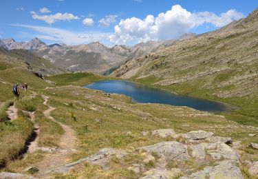
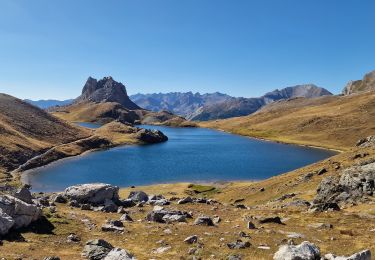
Tour Wandern von 2,4 km verfügbar auf Provence-Alpes-Côte d'Azur, Alpes-de-Haute-Provence, Jausiers. Diese Tour wird von Dervalmarc vorgeschlagen.
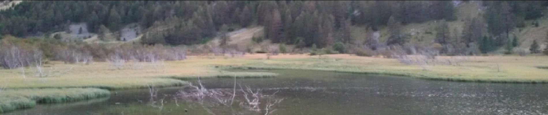
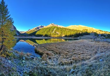
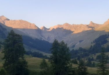
Ballade familiale après un bon repas à la Halte 2000.Nous l'avons faites en soirée au coucher du soleil. Sublime. Prévoir tout de même 20 kilomètres de piste aller retour pour accéder au lac début de la ballade.


Wandern

Wandern
Wandern
Wandern
Wandern
Wandern
Wandern
Wandern
Wandern
impossible à accéder au lac, piste très longue et pas entretenue sur la fin, nous avons fait 7kms de piste pour faire demi tour car les arbustes touchaient la voiture.Dommage le descriptif était bien. jjcc83
accès difficile, le chemin se rétrécissant nous avons fait demi tour à 7 kms, chemin sûrement peu fréquenté, les ronces et arbrisseaux débordent sur la piste. Dommage le descriptif était bien
accès difficile