


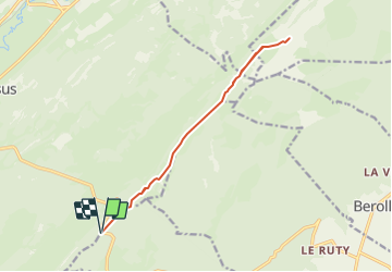

10,7 km | 15,5 km-effort


Benutzer


Kostenlosegpshiking-Anwendung
 SityTrail
IGN / Geografische Institute
SityTrail World
Die Welt öffnet sich für Sie
Tour Wandern von 13,7 km verfügbar auf Waadt, District de Morges, Gimel. Diese Tour wird von yveshumbert vorgeschlagen.
Randonnée de 3 jours au départ du Grütli et arrivée à Brunnen. Etape # 1 Grütli à Isleten.
Parquer sa voiture au parking du restaurant du Marchairuz. Le chemin jusqu' au Mt-Tendre est facile. De là vous aurez une jolie vue sur le lac Léman. Le retour se fait par le même itinéraire.

Schneeschuhwandern
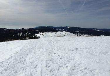
Schneeschuhwandern
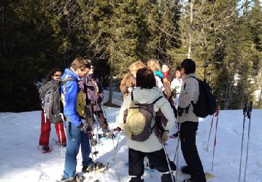
Schneeschuhwandern

Wandern
Wandern
Wandern
Wandern
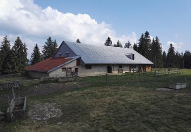
Wandern

Andere Aktivitäten