


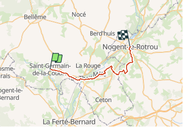

12 km | 14,1 km-effort


Benutzer


Kostenlosegpshiking-Anwendung
 SityTrail
IGN / Geografische Institute
SityTrail World
Die Welt öffnet sich für Sie
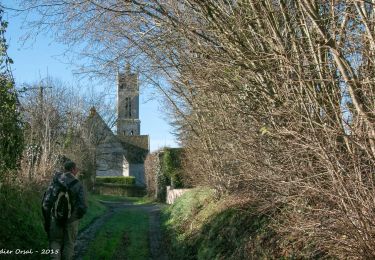
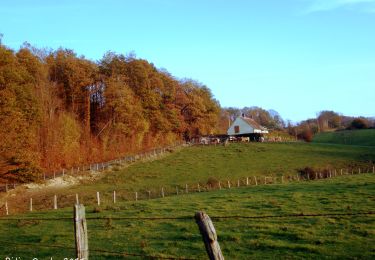
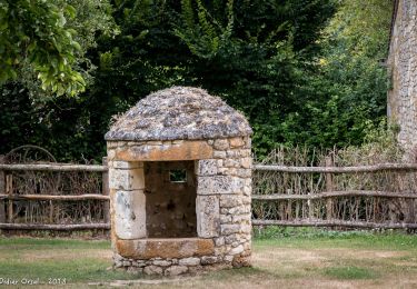
Tour Wandern von 28 km verfügbar auf Normandie, Orne, Saint-Germain-de-la-Coudre. Diese Tour wird von togolo28 vorgeschlagen.
Le Tour des Collines du Perche à été réalisé par l'association « Itinéraires Ruraux » de Pervenchères (orne).
Vous pouvez consulter leur site internet :
http://itinerairesduperche.org

Wandern
Wandern
Wandern
Wandern
Wandern
Wandern
Wandern
Wandern
Wandern