

Tour des Collines du Perche 7 bis

togolo28
Benutzer

Länge
28 km

Maximale Höhe
239 m

Positive Höhendifferenz
456 m

Km-Effort
35 km

Min. Höhe
109 m

Negative Höhendifferenz
534 m
Boucle
Nein
Erstellungsdatum :
2015-08-31 00:00:00.0
Letzte Änderung :
2015-08-31 00:00:00.0
7h24
Schwierigkeit : Medium

Kostenlosegpshiking-Anwendung
Über SityTrail
Tour Wandern von 28 km verfügbar auf Normandie, Orne, Belforêt-en-Perche. Diese Tour wird von togolo28 vorgeschlagen.
Beschreibung
Le Tour des Collines du Perche à été réalisé par l'association « Itinéraires Ruraux » de Pervenchères (orne).
Vous pouvez consulter leur site internet :
http://itinerairesduperche.org
Ort
Land:
France
Region :
Normandie
Abteilung/Provinz :
Orne
Kommune :
Belforêt-en-Perche
Standort:
Unknown
Gehen Sie:(Dec)
Gehen Sie:(UTM)
310670 ; 5362746 (31U) N.
Kommentare
Touren in der Umgebung
La Perrière, forêt et village


Wandern
Schwierig
Belforêt-en-Perche,
Normandie,
Orne,
France

11,1 km | 13,8 km-effort
3h 8min
Ja
le chêne de l'école


Wandern
Sehr leicht
Belforêt-en-Perche,
Normandie,
Orne,
France

15,7 km | 19,7 km-effort
6h 47min
Ja
La Perrière - Saint-Germain-de-la-Coudre via Bellême (TCP) 28 km


Wandern
Medium
Belforêt-en-Perche,
Normandie,
Orne,
France

28 km | 35 km-effort
7h 16min
Nein
La Perrière - Saint-Germain-de-la-Coudre via Igé (TCP) 27 km


Wandern
Einfach
Belforêt-en-Perche,
Normandie,
Orne,
France

27 km | 33 km-effort
7h 2min
Nein
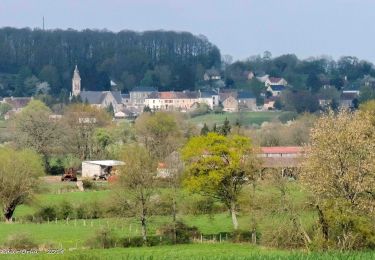
La Perrière - Mortagne-au-Perche (TCP) 29 km


Wandern
Schwierig
Belforêt-en-Perche,
Normandie,
Orne,
France

29 km | 34 km-effort
7h 18min
Nein
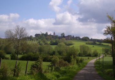
La Perrière : village millénaire


Wandern
Medium
Belforêt-en-Perche,
Normandie,
Orne,
France

11,1 km | 14 km-effort
3h 0min
Ja
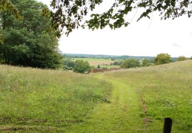
la perrière par la forêt


Wandern
Medium
Belforêt-en-Perche,
Normandie,
Orne,
France

5,6 km | 7,6 km-effort
1h 45min
Ja
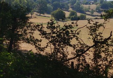
fourneaux gr jusqu'au ruisseau


Wandern
Medium
Belforêt-en-Perche,
Normandie,
Orne,
France

5 km | 6,7 km-effort
1h 15min
Ja


 SityTrail


