


8,1 km | 8,7 km-effort


Benutzer


Kostenlosegpshiking-Anwendung
 SityTrail
IGN / Geografische Institute
SityTrail World
Die Welt öffnet sich für Sie
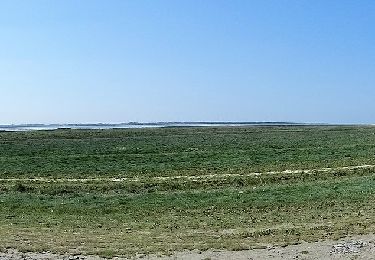
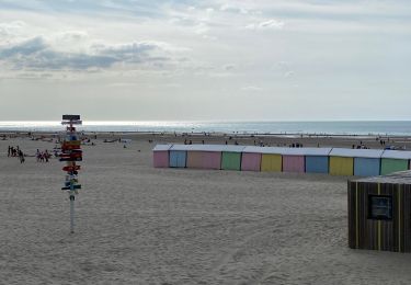
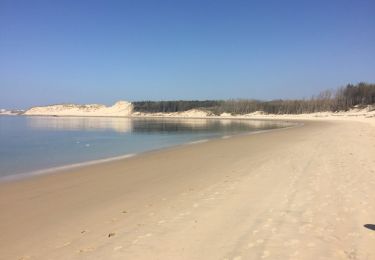
Tour Fahrrad von 47 km verfügbar auf Nordfrankreich, Pas-de-Calais, Berck. Diese Tour wird von Baltykatt vorgeschlagen.
Circuit proposé par le Conseil Général du Pas de Calais. Départ de Berck-sur-Mer, place Wilquin ou de St Josse, place de la Mairie. Suivre les panneaux cyclotouristes verts.
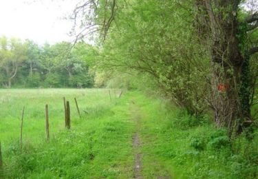
Wandern
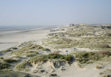
Wandern
Zu Fuß
Zu Fuß

Wandern
Wandern
Zu Fuß
Wandern

Wandern