


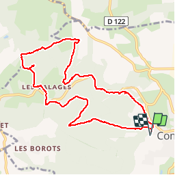


9,5 km | 13,4 km-effort

Benutzer


Kostenlosegpshiking-Anwendung
 SityTrail
IGN / Geografische Institute
SityTrail World
Die Welt öffnet sich für Sie
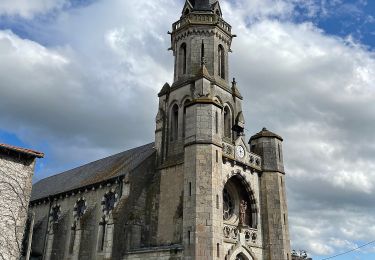
Tour Wandern von 10,2 km verfügbar auf Auvergne-Rhone-Alpen, Puy-de-Dôme, Combronde. Diese Tour wird von Gegetop vorgeschlagen.
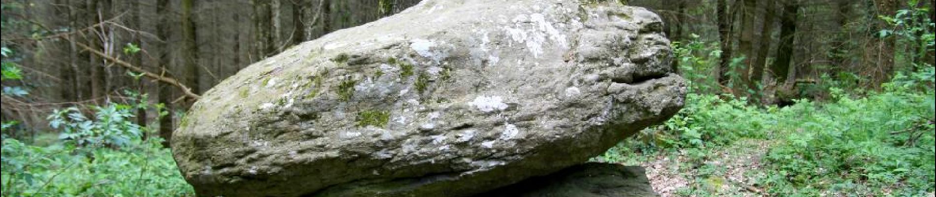
Cette petite rando est principalement dans les bois, elle emprunte en partie le balisage jaune et permet de visiter la pierre branlante entre Les Jouffrets et Les Ballages.


Wandern

Wandern

Wandern

Wandern

Wandern
Zu Fuß
Zu Fuß

Wandern
Zu Fuß