


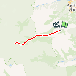


6 km | 10,4 km-effort


Benutzer


Kostenlosegpshiking-Anwendung
 SityTrail
IGN / Geografische Institute
SityTrail World
Die Welt öffnet sich für Sie
Tour Wandern von 22 km verfügbar auf Provence-Alpes-Côte d'Azur, Hochalpen, L'Argentière-la-Bessée. Diese Tour wird von jpb83 vorgeschlagen.
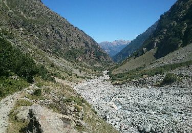
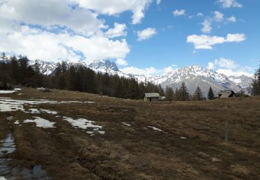
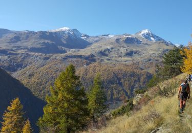
Pour rejoindre le Champsaur par le Pas de la Cavale, un sentier court le long du vallon du Fournel, tout en douceur. Une longue randonnée dans un paysage des plus sauvages.

Wandern

Wandern
Wandern

Zu Fuß

Schneeschuhwandern

Wandern

Wandern
Wandern
Wandern