


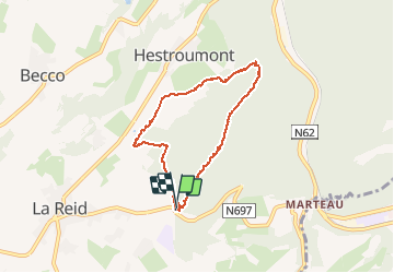

15,9 km | 21 km-effort


Benutzer


Kostenlosegpshiking-Anwendung
 SityTrail
IGN / Geografische Institute
SityTrail World
Die Welt öffnet sich für Sie
Tour Wandern von 6,2 km verfügbar auf Wallonien, Lüttich, Theux. Diese Tour wird von lucspa vorgeschlagen.
Maquisard - La Reid 5 km
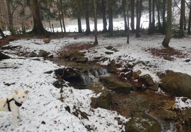
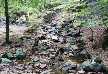
Attention, la 2e partie passage entre la rue de Fancheumont et Gros Thier se fait dans le lit d'un ruisseau et peut donc se révéler très délicat.

Wandern


Wandern

Wandern
Wandern
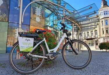
Fahrrad

Elektrofahrrad
Wandern

Wandern