


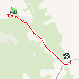

7,7 km | 14,9 km-effort

Benutzer


Kostenlosegpshiking-Anwendung
 SityTrail
IGN / Geografische Institute
SityTrail World
Die Welt öffnet sich für Sie
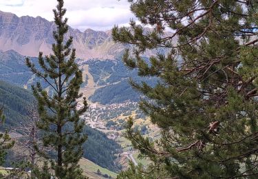
Tour Wandern von 5 km verfügbar auf Provence-Alpes-Côte d'Azur, Hochalpen, Vars. Diese Tour wird von yoyolyon vorgeschlagen.
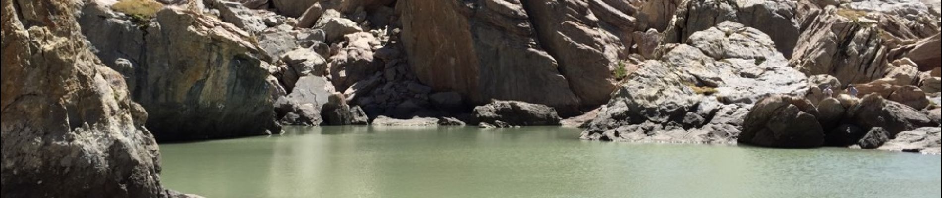
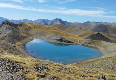
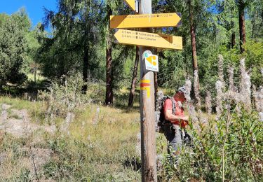
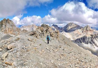
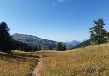
Depuis le parking des couinets monter jusqu'au lac. Marmottes en veux tu en voilà et champs d'edelweiss.


Wandern

Wandern

Andere Aktivitäten
Elektrofahrrad
Wandern
Wandern
Wandern
Wandern
Wandern