


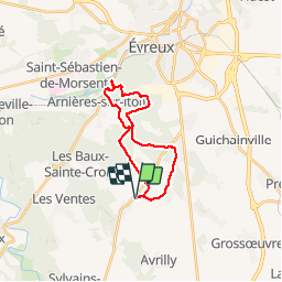

34 km | 41 km-effort

Benutzer


Kostenlosegpshiking-Anwendung
 SityTrail
IGN / Geografische Institute
SityTrail World
Die Welt öffnet sich für Sie
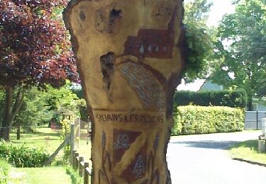
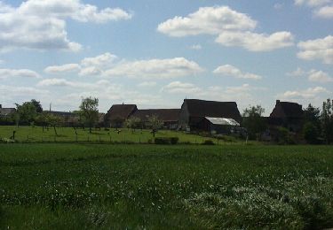
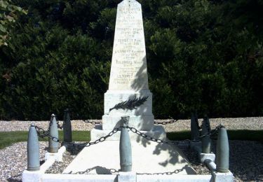
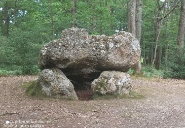
Tour Andere Aktivitäten von 19 km verfügbar auf Normandie, Eure, Les Baux-Sainte-Croix. Diese Tour wird von fredtruc27 vorgeschlagen.
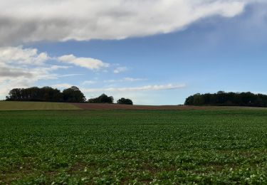
petite balade en vtt pour voir les travaux au pont du chemin des postiers où sont commencés les travaux du contournement d'Evreux.


Mountainbike
Wandern

Andere Aktivitäten
Fahrrad
Mountainbike
Wandern
Wandern
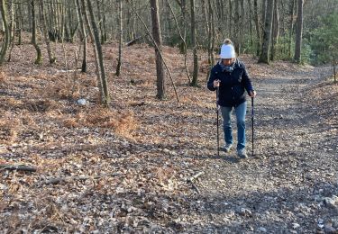
Wandern
Mountainbike