


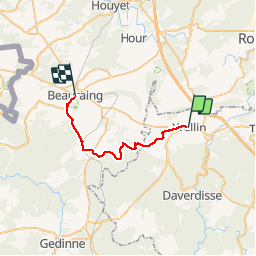

26 km | 33 km-effort


Benutzer


Kostenlosegpshiking-Anwendung
 SityTrail
IGN / Geografische Institute
SityTrail World
Die Welt öffnet sich für Sie
Tour Wandern von 22 km verfügbar auf Wallonien, Luxemburg, Wellin. Diese Tour wird von mozzipsc vorgeschlagen.
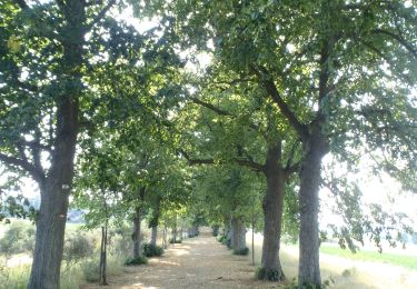
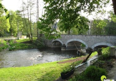
Très beau parcours particulierement dans les bois du Crahau,Fays,Eclaye magnifiques. Côtes pour la journée sans trop de difficulté. Quelques sentiers épiques aussi ;-)
Wandern
Wandern

Wandern

Wandern
Wandern
Wandern
Wandern
Fahrrad
Wandern