


10 km | 19 km-effort

Benutzer


Kostenlosegpshiking-Anwendung
 SityTrail
IGN / Geografische Institute
SityTrail World
Die Welt öffnet sich für Sie
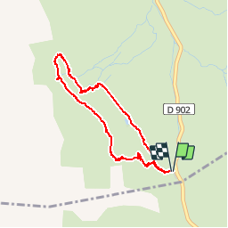
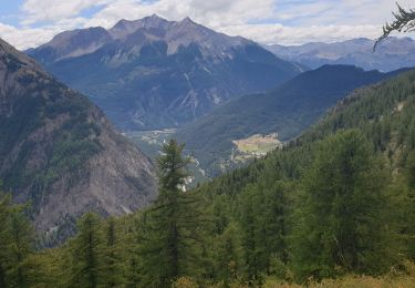
Tour Wandern von 4,5 km verfügbar auf Provence-Alpes-Côte d'Azur, Hochalpen, Vars. Diese Tour wird von marmotte83 vorgeschlagen.
Attention une partie de la randonnée est hors sentier. Il s'agit d'une boucle dans l'alpage du col de Vars.


Wandern

Wandern

Wandern

Andere Aktivitäten
Elektrofahrrad
Wandern
Wandern
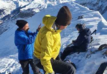
Skiwanderen
Wandern
abbiamo fatto andata e ritorno, il sentiero per tornare e formare il cerchio non è segnalato.
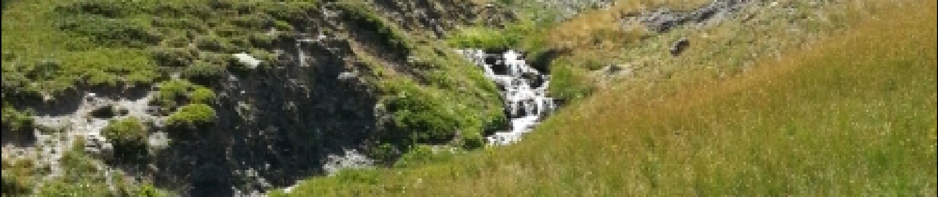
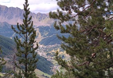
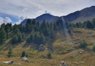
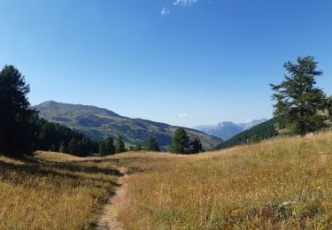
paysages magnifiques, difficulté moyenne