


17,5 km | 21 km-effort

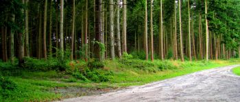
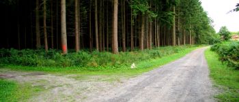
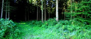
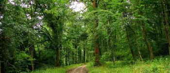
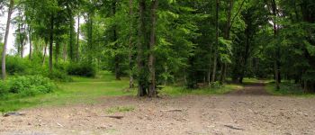
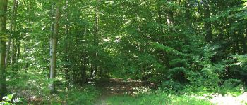
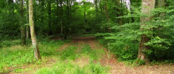
forêts de France


Kostenlosegpshiking-Anwendung
 SityTrail
IGN / Geografische Institute
SityTrail World
Die Welt öffnet sich für Sie
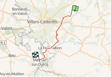
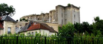
Tour Wandern von 27 km verfügbar auf Nordfrankreich, Aisne, Longpont. Diese Tour wird von en forêt de Retz vorgeschlagen.
voir aussi:
http://foret-de-retz.over-blog.com/
07/ 2015
batterie de rechange pour iphone indispensable.
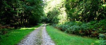
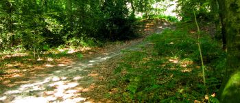
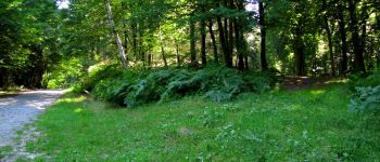
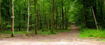
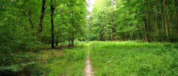
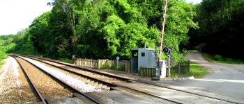
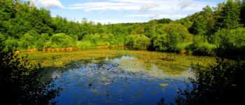
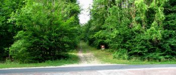
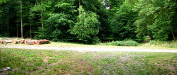
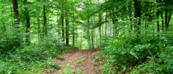
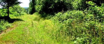
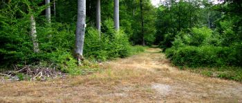
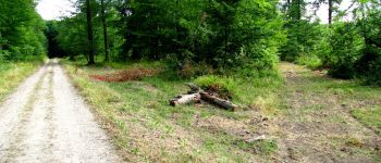
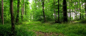
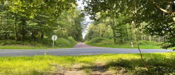
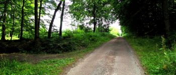
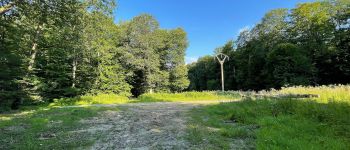
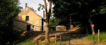
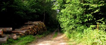
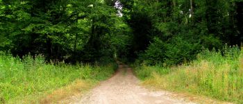
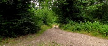
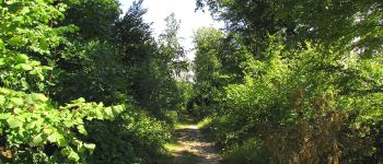
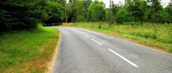
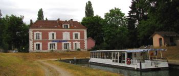
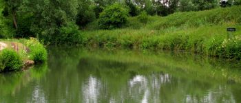
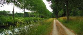
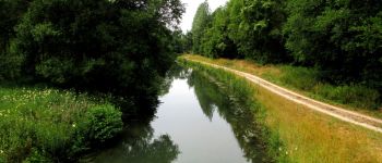
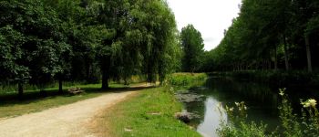
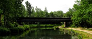
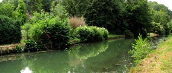
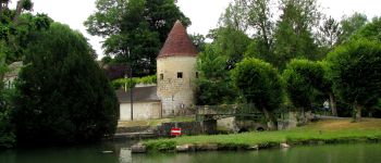
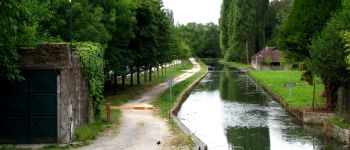
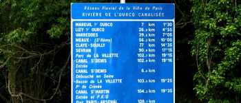
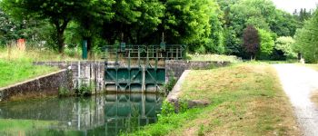
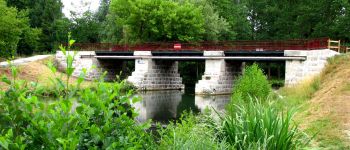
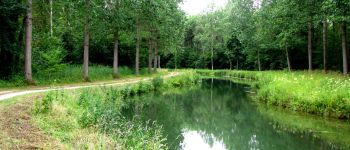
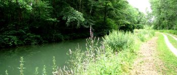
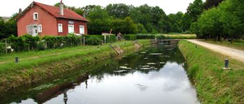
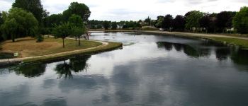
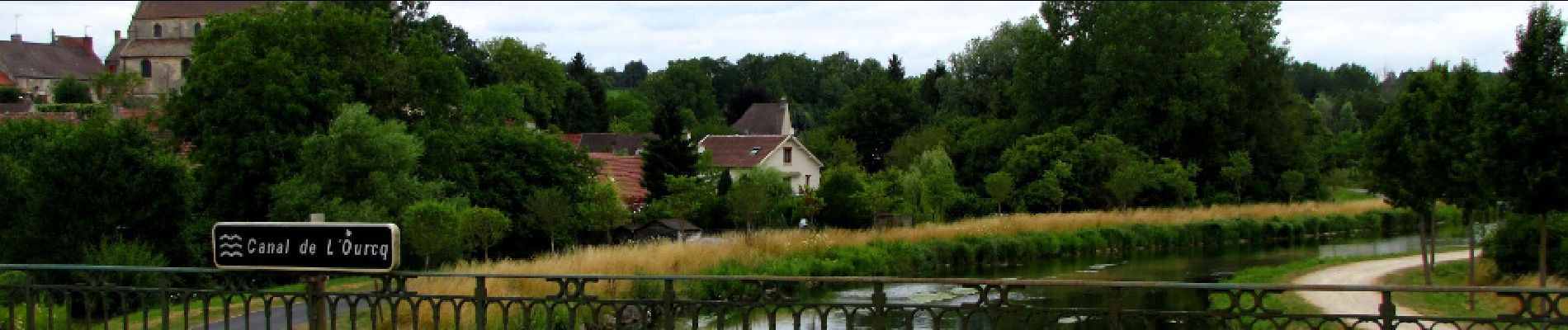
au départ de l'Abbaye de Longpont prendre le GR11A aux "trois maisons". Rejoindre le vieux chemin de Longpont et le suivre jusqu'à l'intersection avec la laie de la Grosse Pierre. Prendre à gauche jusqu'au carrefour de Château Fée. Prendre la laie de la Grosse Pierre jusqu'à l'étang de la Petite Ramée. Traverser la D80 et continuer jusqu'au carrefour des Cornillards. Prendre à gauche la laie de Hautwison jusqu'au carrefour du Trou de Terelle. Prendre à droite la laie de la Poudrerie. Continuer sur la laie de Pont Robert en passant la maison forestière du Buchet et jusqu'au carrefour du Pont Robert. Suivre le GR11 jusqu'au Port aux Perches. Prendre le canal de l'Ourcq jusqu'à Mareuil sur Ourcq.


201 Fotos insgesamt. Klicken Sie auf ein Foto, um sie alle in der Galerie zu sehen.

Wandern

Wandern

Wandern

Zu Fuß

Zu Fuß

Wandern

Wandern

Wandern

Wandern