


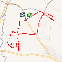


33 km | 40 km-effort

Benutzer


Kostenlosegpshiking-Anwendung
 SityTrail
IGN / Geografische Institute
SityTrail World
Die Welt öffnet sich für Sie
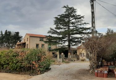
Tour Wandern von 5,8 km verfügbar auf Okzitanien, Ostpyrenäen, Bages. Diese Tour wird von jeff66 vorgeschlagen.
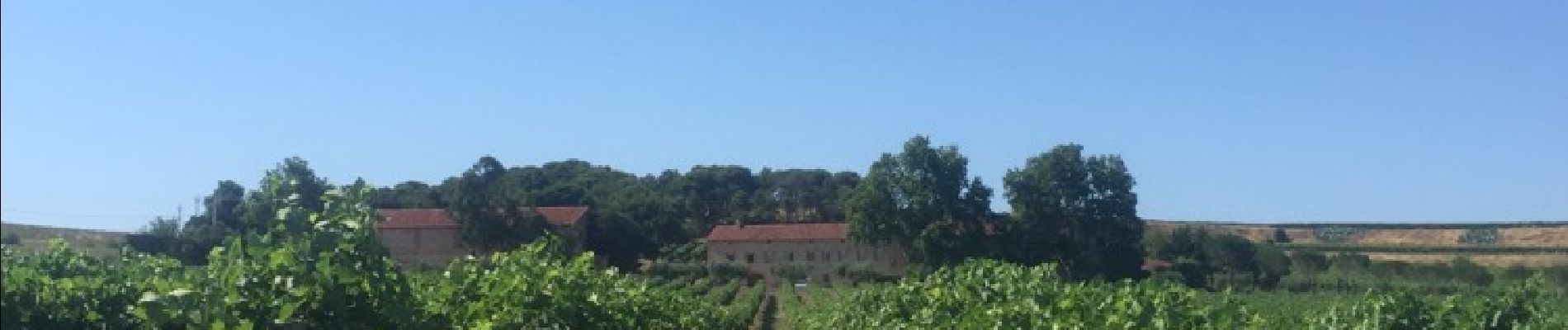
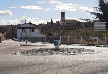
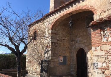
BAGES 66 - RD 49 - panorama sur Villeneuve de la raho le lac lac la plaine BAGES les alberes - moulin à vent ruines - les arbres blancs - les corboses - poste gaz - sud wines traders - vignoble du mas Nou - club canin SCPC - mas NOU


Quad

Wandern

Wandern

Wandern

Mountainbike

Quad
Wandern
Wandern
Wandern