


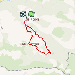

13,3 km | 22 km-effort


Benutzer


Kostenlosegpshiking-Anwendung
 SityTrail
IGN / Geografische Institute
SityTrail World
Die Welt öffnet sich für Sie
Tour Wandern von 12,4 km verfügbar auf Provence-Alpes-Côte d'Azur, Alpes-de-Haute-Provence, Bayons. Diese Tour wird von rigol05 vorgeschlagen.
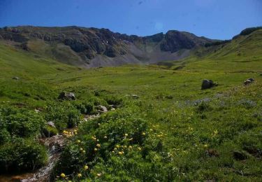
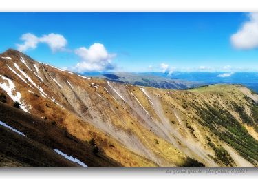
Randonnée du 10/07/2015
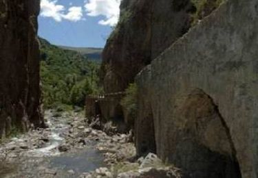
Le sentier aléatoire passant par le Rocher de Cournaud est inexistant(dommage!), il est préférable de suivre le GR par la piste.
Wandern
Wandern
Wandern

Wandern
Wandern
Wandern
Wandern
Wandern

Reiten