


24 km | 33 km-effort


Benutzer GUIDE


Kostenlosegpshiking-Anwendung
 SityTrail
IGN / Geografische Institute
SityTrail World
Die Welt öffnet sich für Sie
Tour Wandern von 20 km verfügbar auf Auvergne-Rhone-Alpen, Drôme, Saint-Agnan-en-Vercors. Diese Tour wird von Alfredy vorgeschlagen.
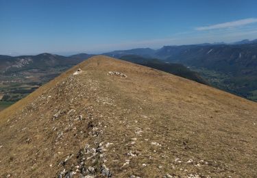
Le rocher du Vellan (954 m): Ce site est exceptionnel à plus d''un titre. Tout d''abord pour son emplacement géographique, en « signal » de la vallée de la Gervanne, point de repère pour les habitants de toute une vallée. Ensuite pour son histoire, à la fois riche et mystérieuse depuis l'Antiquité, ce plateau était habité par les Gaulois. Au Moyen âge, le site était une forteresse, protégée d'un fossé et d'un rempart, possédant même sa propre chapelle. Au XXe siècle, c'est un symbole, avec sa croix de 11 mètres de hauteur, symbole d''une réconciliation difficile entre catholiques et protestants. Aujourd'hui ce site est un lieu de contemplation avec un magnifique panorama à 360° emmenant des Cévennes aux hauts plateaux du Vercors.

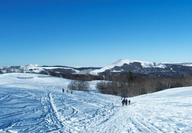
Wandern

Wandern

Wandern
Wandern

Wandern

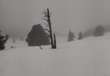
Schneeschuhwandern
Wandern
Wandern
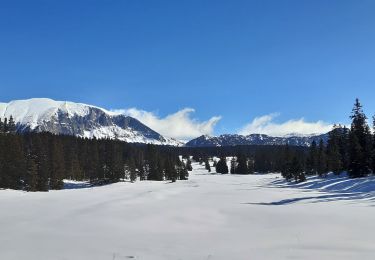
Schneeschuhwandern