


31 km | 41 km-effort


Benutzer


Kostenlosegpshiking-Anwendung
 SityTrail
IGN / Geografische Institute
SityTrail World
Die Welt öffnet sich für Sie
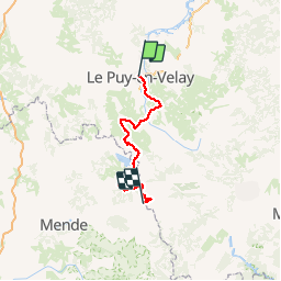
Tour Wandern von 120 km verfügbar auf Auvergne-Rhone-Alpen, Haute-Loire, Le Puy-en-Velay. Diese Tour wird von grinfos vorgeschlagen.
Randonnée avec le GR70 Chemin de Stevenson à travers l'Auvergne et le Languedoc-Roussillon par la Haute Loire et la Lozère du Puy-en-Velay à La Bastide-Puylaurent. Gîtes d'étapes, Chambres d'hôtes, Hôtels, Camping, Refuges, Auberges.

Wandern

Wandern

Wandern

Wandern
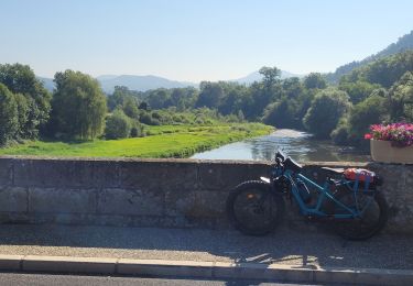
Elektrofahrrad
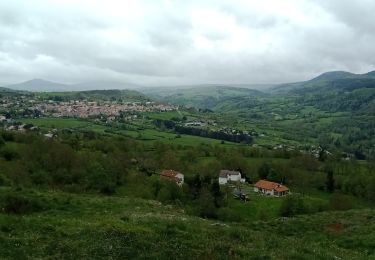
Wandern
Wandern
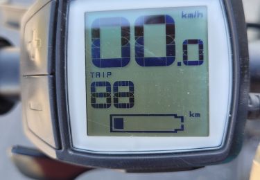
Elektrofahrrad
Elektrofahrrad