


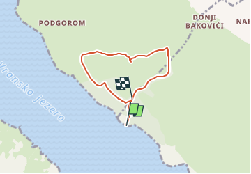

4,1 km | 4,8 km-effort

Tous les sentiers balisés d’Europe GUIDE+


Kostenlosegpshiking-Anwendung
 SityTrail
IGN / Geografische Institute
SityTrail World
Die Welt öffnet sich für Sie
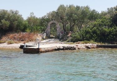
Tour Zu Fuß von 5,6 km verfügbar auf Unbekannt, Gespanschaft Zadar. Diese Tour wird von SityTrail - itinéraires balisés pédestres vorgeschlagen.
Park prirode Vransko jezero predstavlja mjesto neposrednog susreta s prirodom i pruža jedinstvenu priliku da prirodom bude vaš učitelj. Saznajte malu
Website: http://www.pp-vransko-jezero.hr/hr/poucne-staze/


Zu Fuß

sport
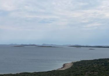
Motorboot

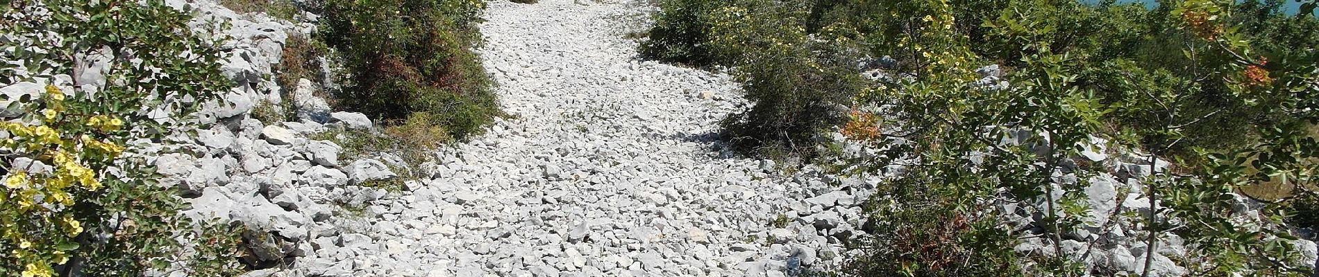
Pfad